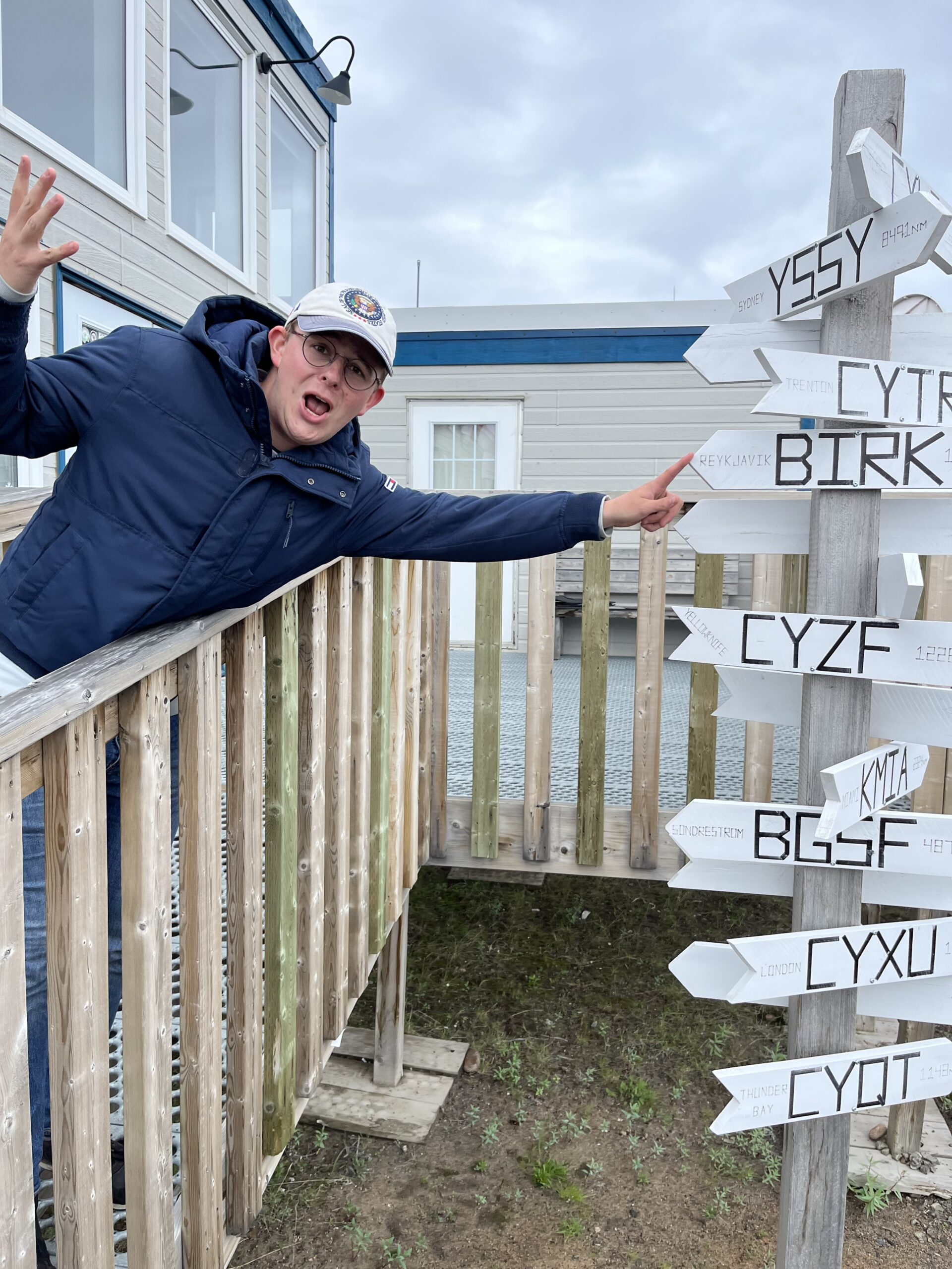
Flight 4 : Reykjavik – Kangerlussuaq
As planned the day before when we were stuck in Reykjavik, we knew that today would be the longest day. In fact, it was a gift of nature! Reykjavik sits in the timezone of UTC, and our final destination for today is Kuujjuaq which sits in UTC -4hrs. This means that we had a day of 28hrs. And even better: as it s summer on the northern hemisphere, the sun is hardly setting in this part of the world. Boy … would this be a long day … longer than desired even. Read along:
We got up early and we were in our airplane at 08:00L, which is the official opening time of the Reykjavik Airport on Saturday. Via runway 9, we set course to the west … towards Greenland!
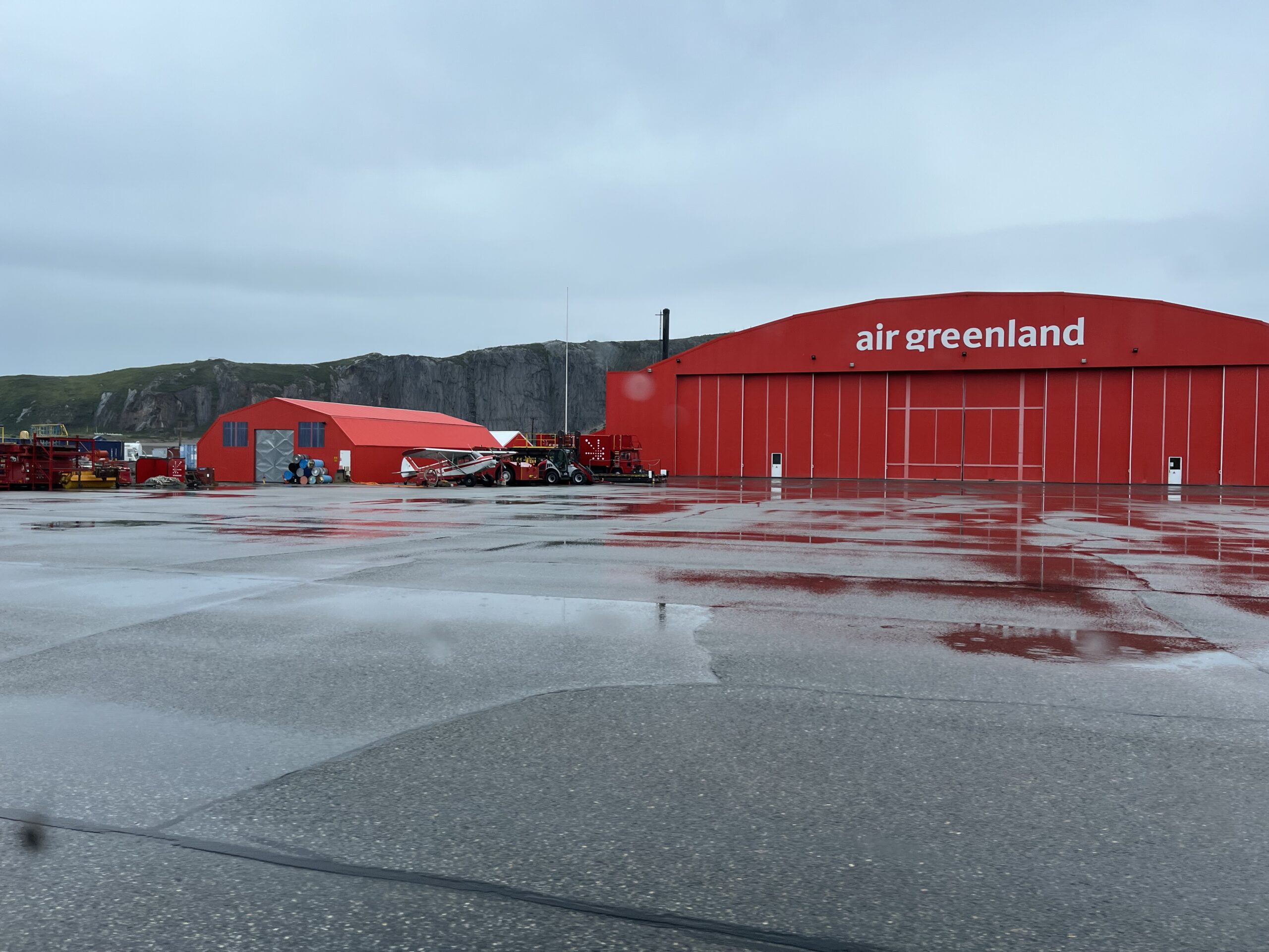
Weather was acceptable and crossing the icecap to land on the western side of Greenland was possible, so that’s what we planned for. Our plan was to first fly directly to Kangerlussuaq which sits far away from the western shore of central Greenland at the end of the Sondrestrom glacier. By its location is is shielded from fog rolling in from the sea and therefore it has the best and most reliable weather of all Greenland airports. It serves as the central hub of Greenland Air.
This means that we decided to skip Kulusuk (BGKK) entirely to land, but we would overfly it. Kulusuk has a gravel runway, so we also avoided the risk of the gravel damaging our airplane on landing or takeoff. Particularly the propellers are vulnerable to little stones flying around and creating metal chips.
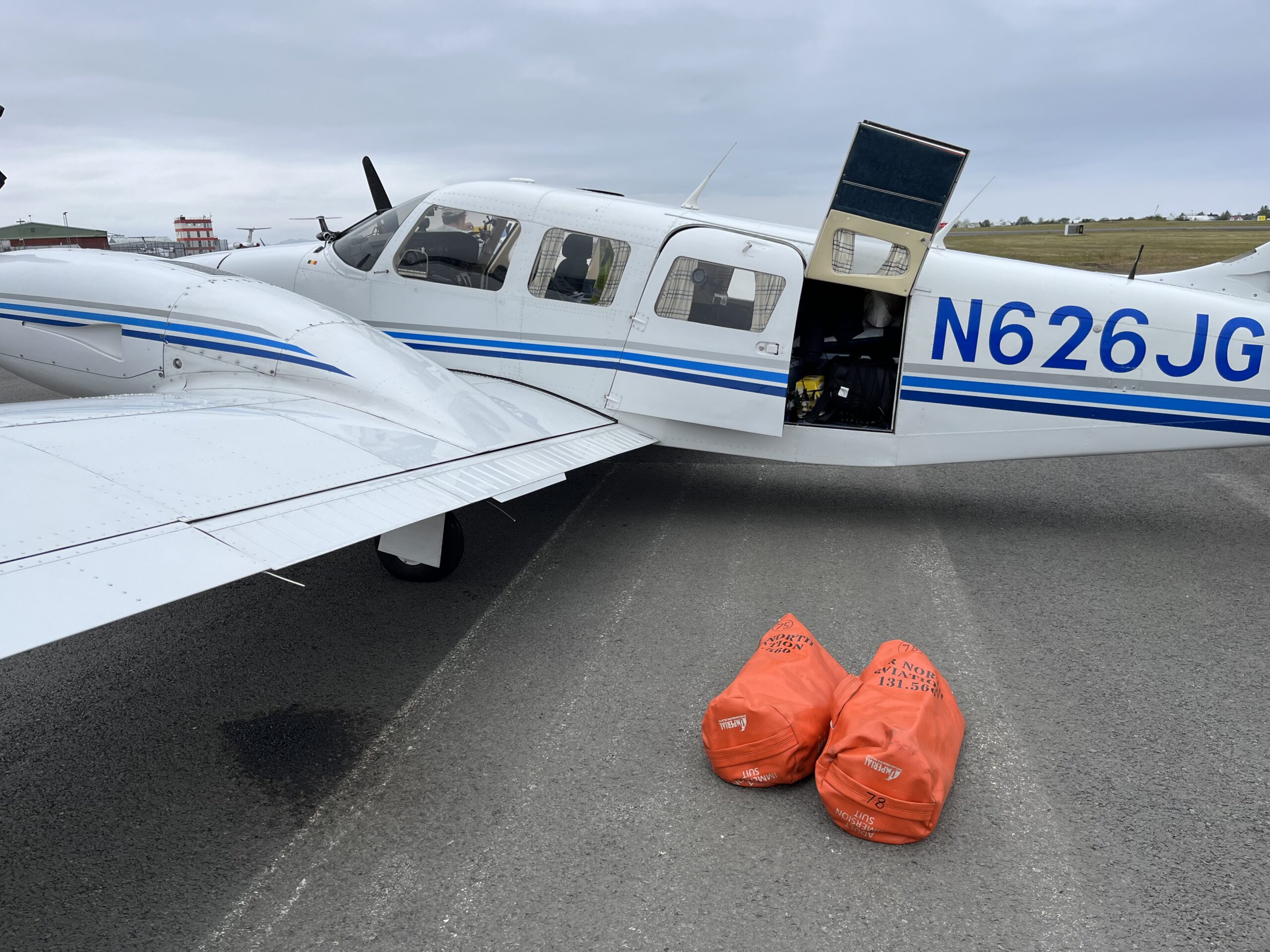
We donned our immersion suits again and already on the ground in Reykjavik, we received our oceanic clearance.
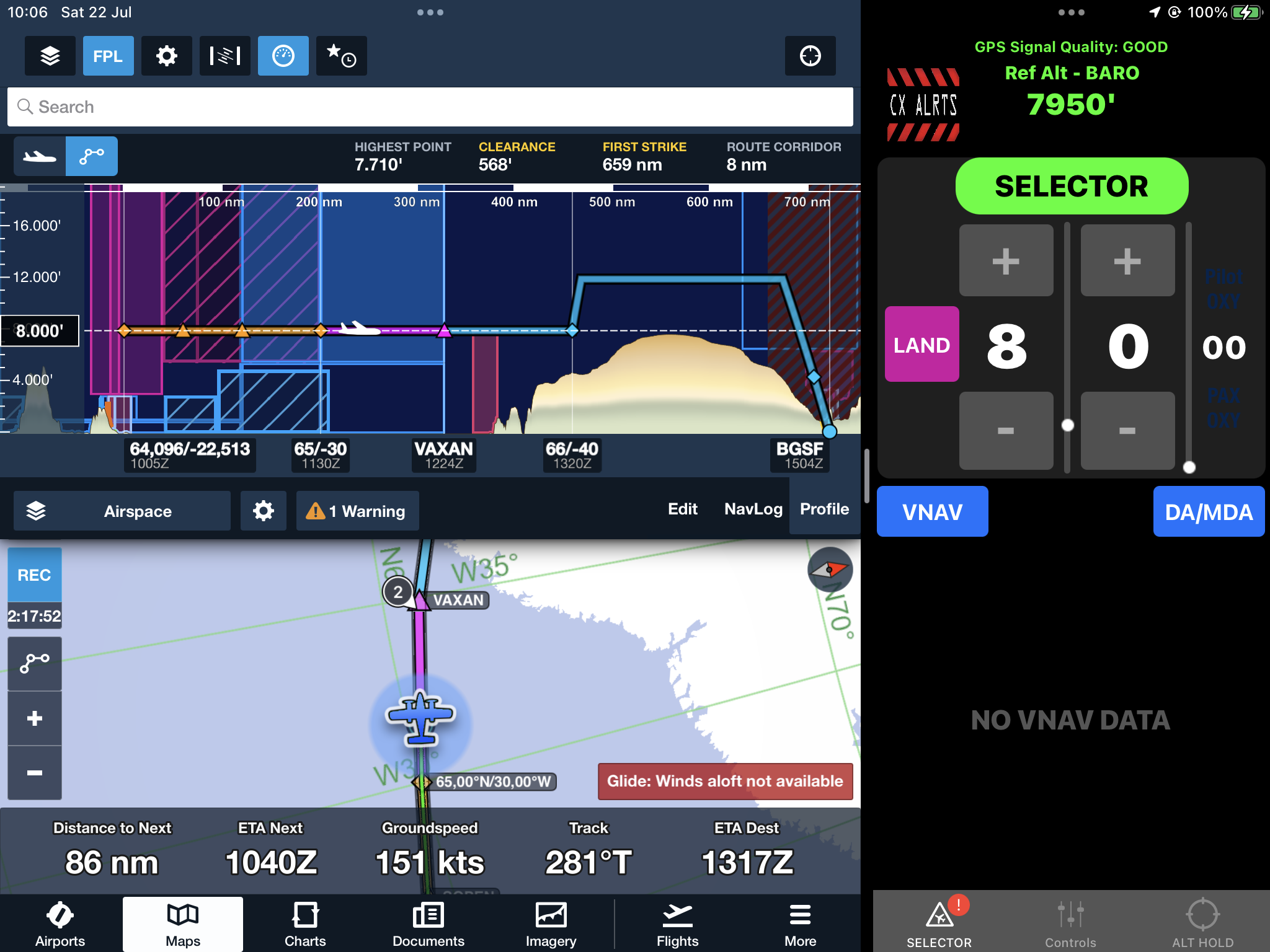
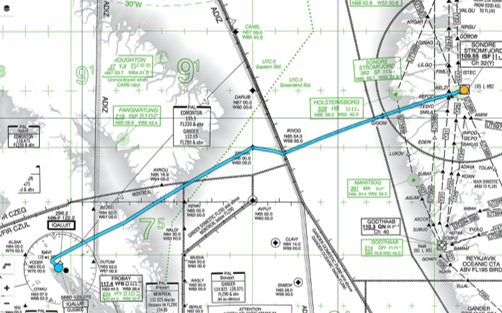
You are cleared to the BGSF airport via direct KFV, SORIR, SOPEN, 65N030W, VAXAN, 66N040W, climb FL080, squawk 3230
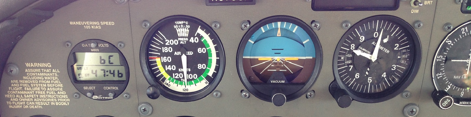
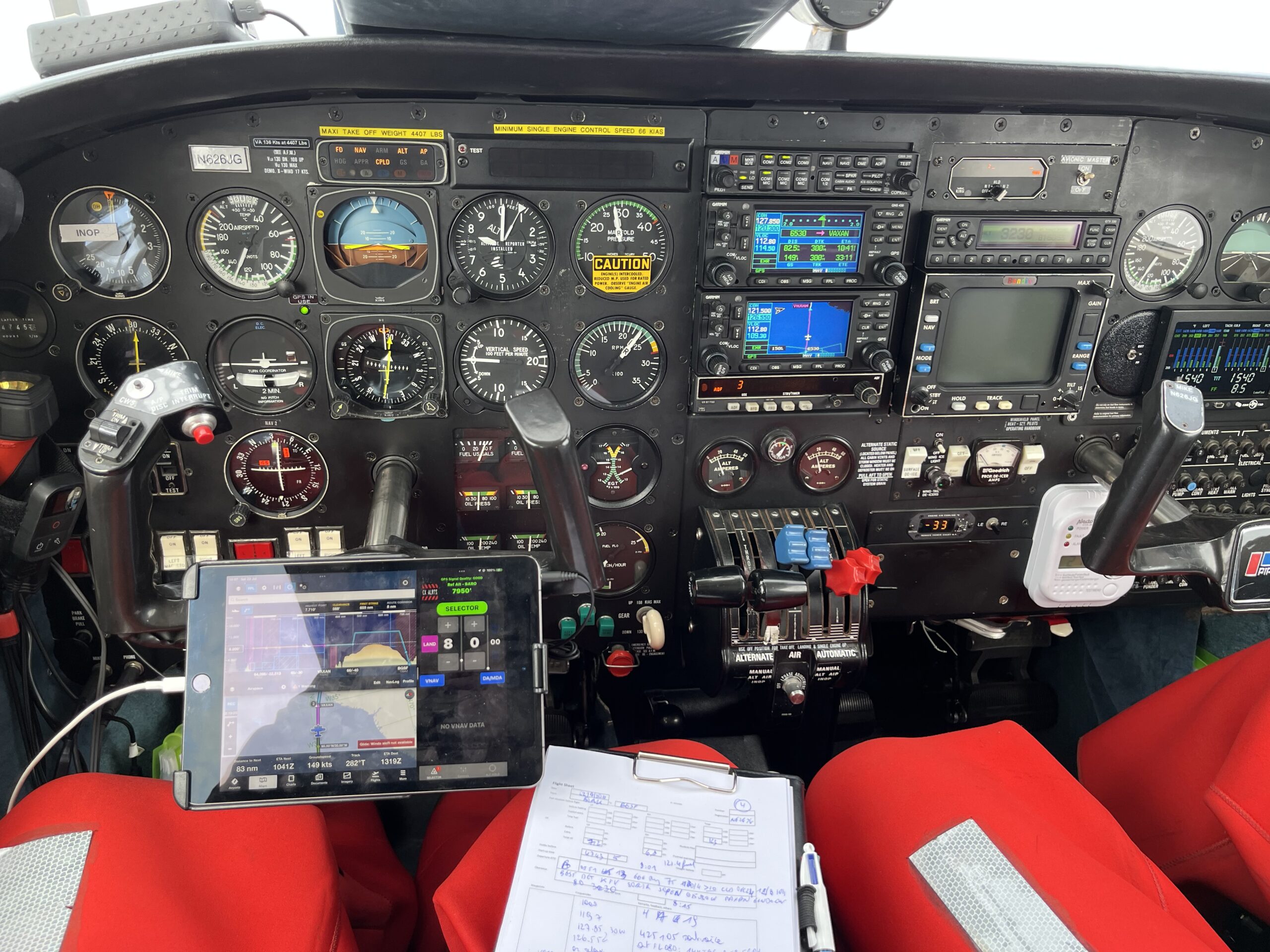
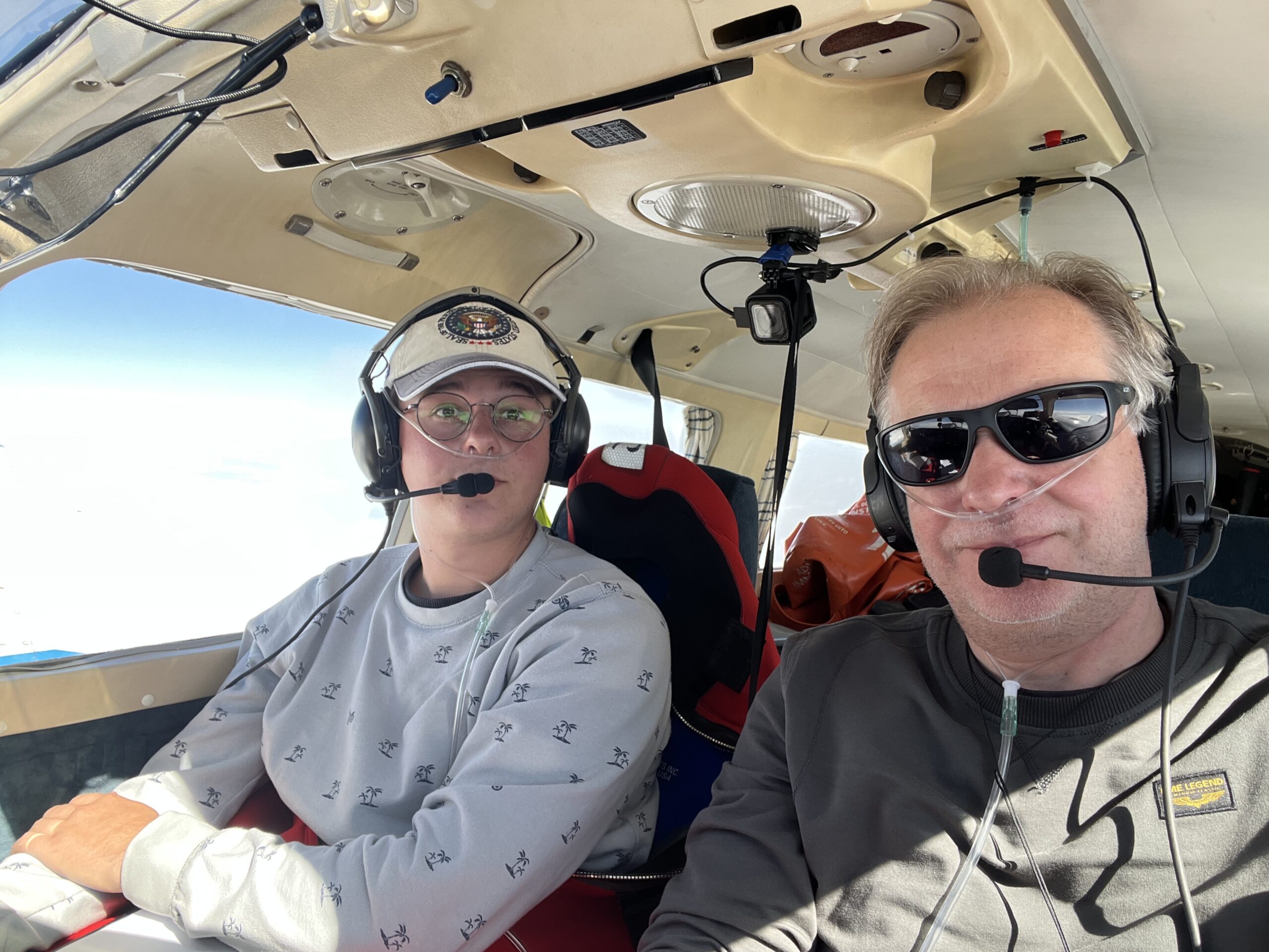
After take-off we got in contact with Reykjavik Control and later with Iceland Radio. We actually passed our SATPHONE number to Iceland Radio in case we would loose VHF two-way communication. Mind you: for reasons of headwinds we flew only at FL080 (8000ft). We selected only 47% power setting to safe fuel for this long trip, knowing very well that this resulted in a slower speed and a longer flight… making our day even longer.
After a while we did indeed loose radio contact with Iceland and talking to nobody, but soon we could tune in into Nuuk Radio when approaching Greenland. After a while, the first icebergs appeared on the water and the first bits of land appeared on the horizon !
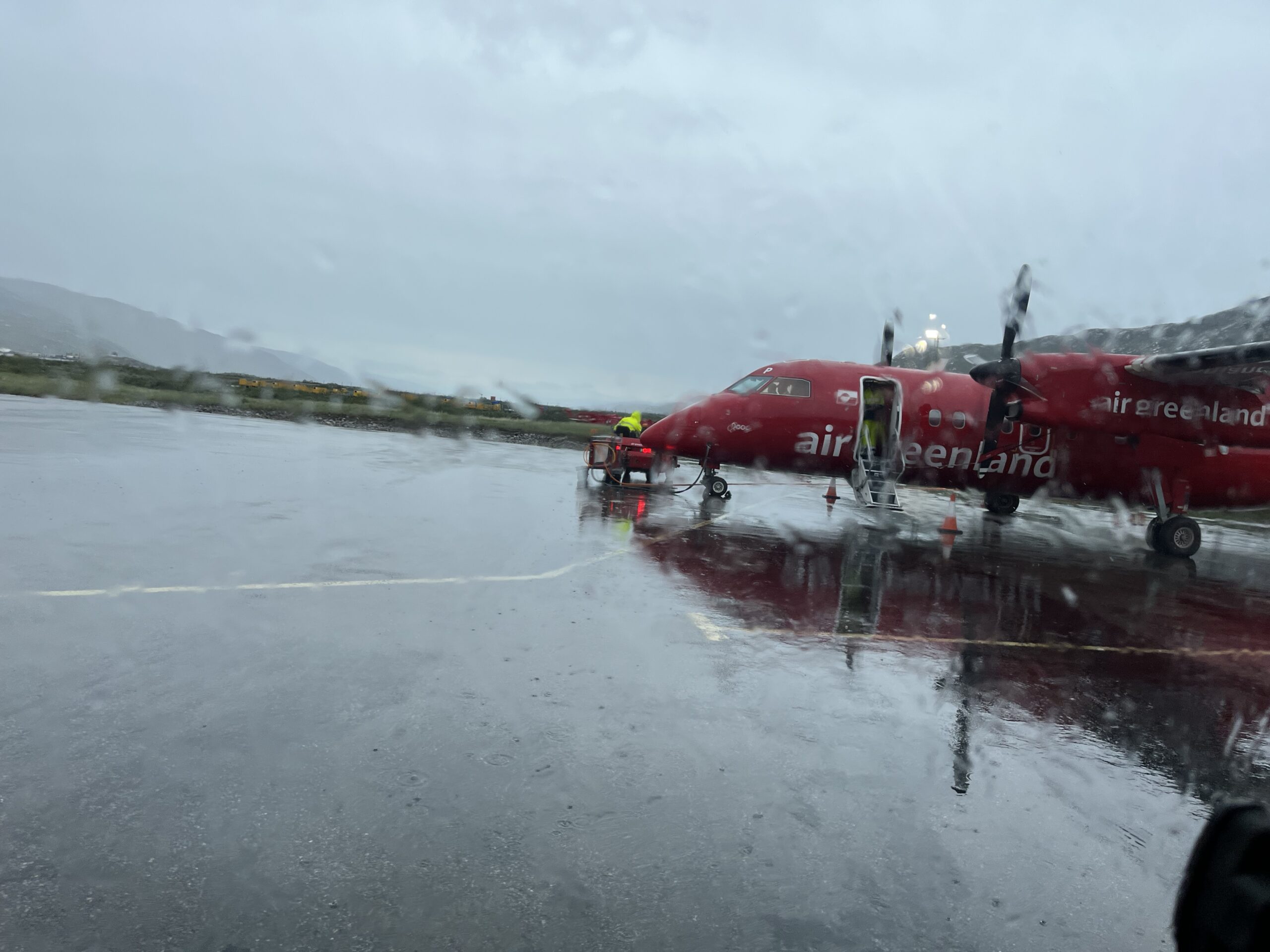
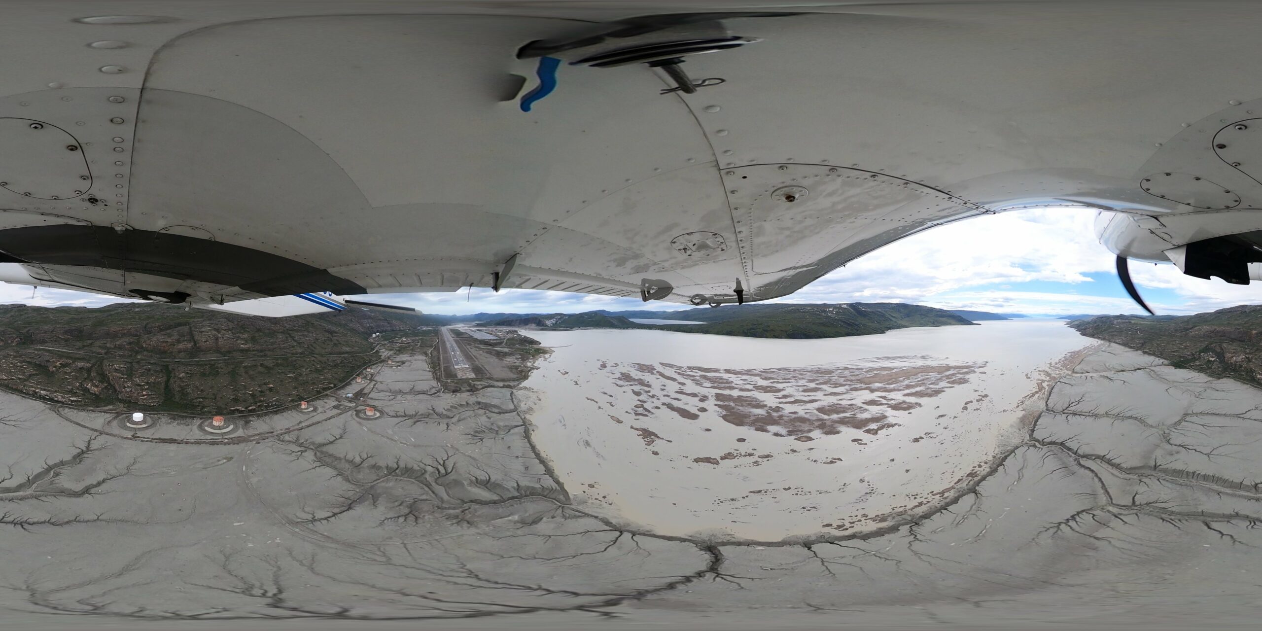
When getting closer to the island surrounding Kulusuk, we were able for the first time to enjoy the expansive beauty of Greenland ! The colors of the airplane were perfectly matched to the surrounding nature’s colors … Kulusuk was again reporting fog and bad vertical visibility: what an unreliable airport this is …
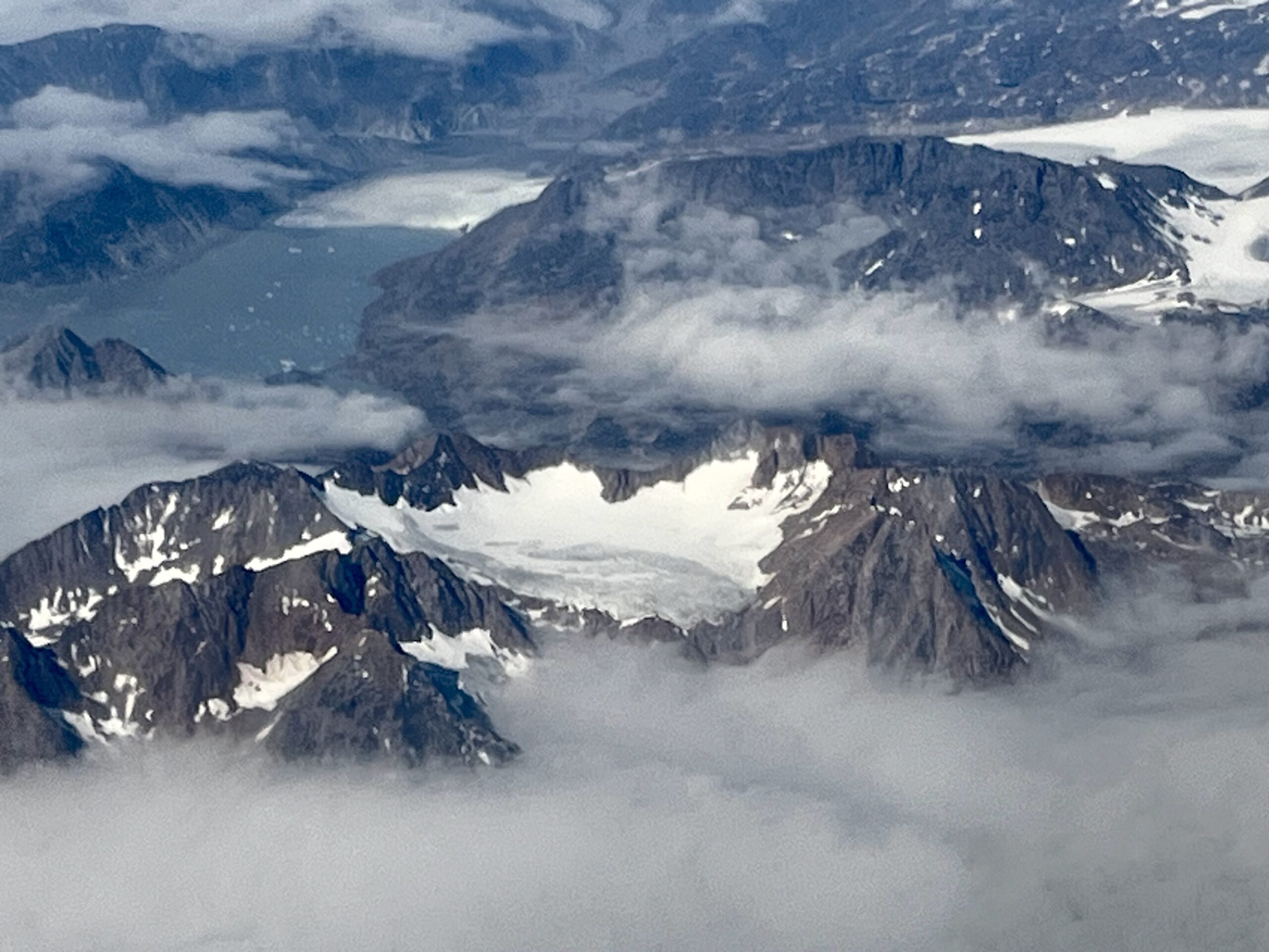
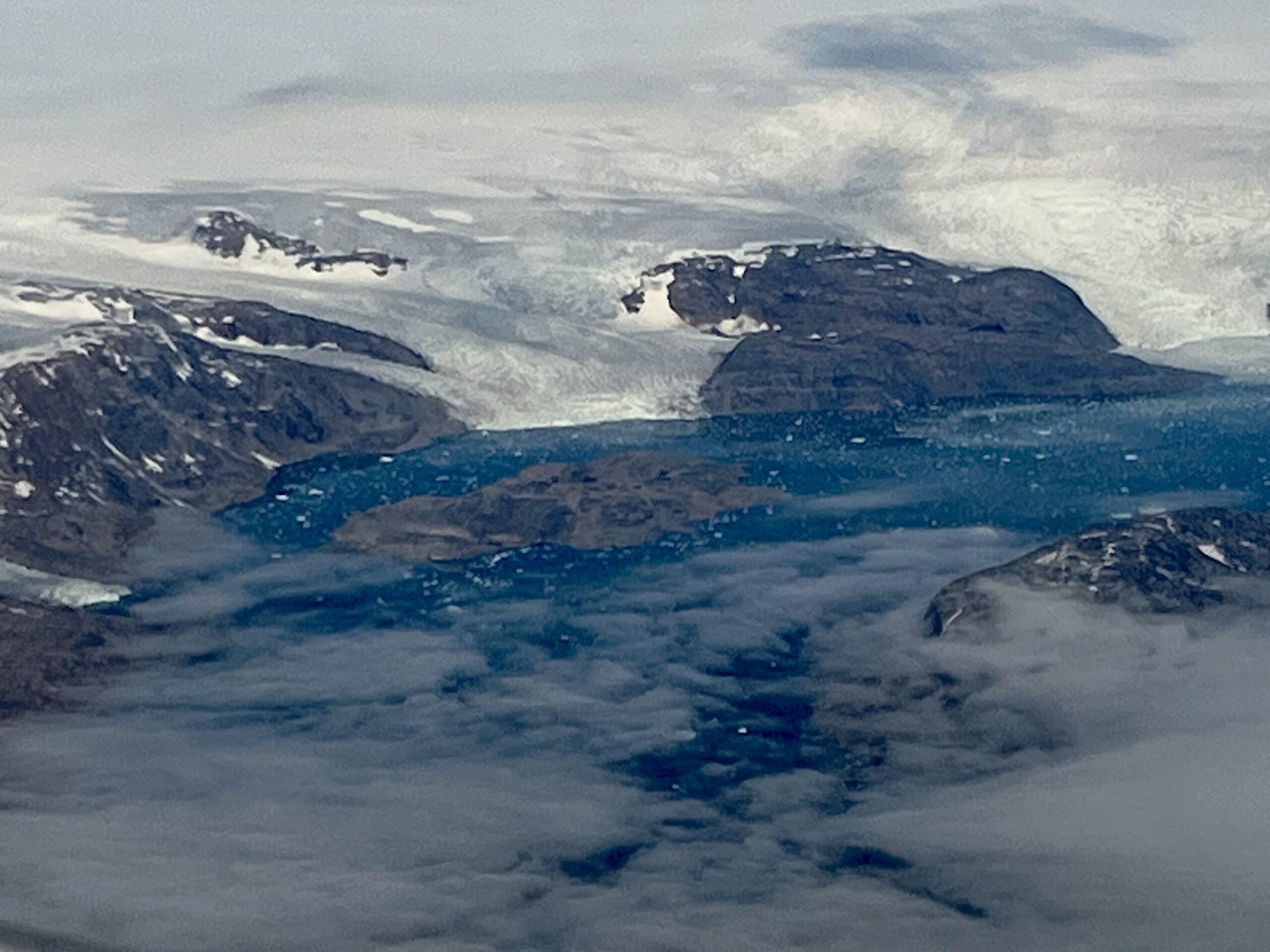
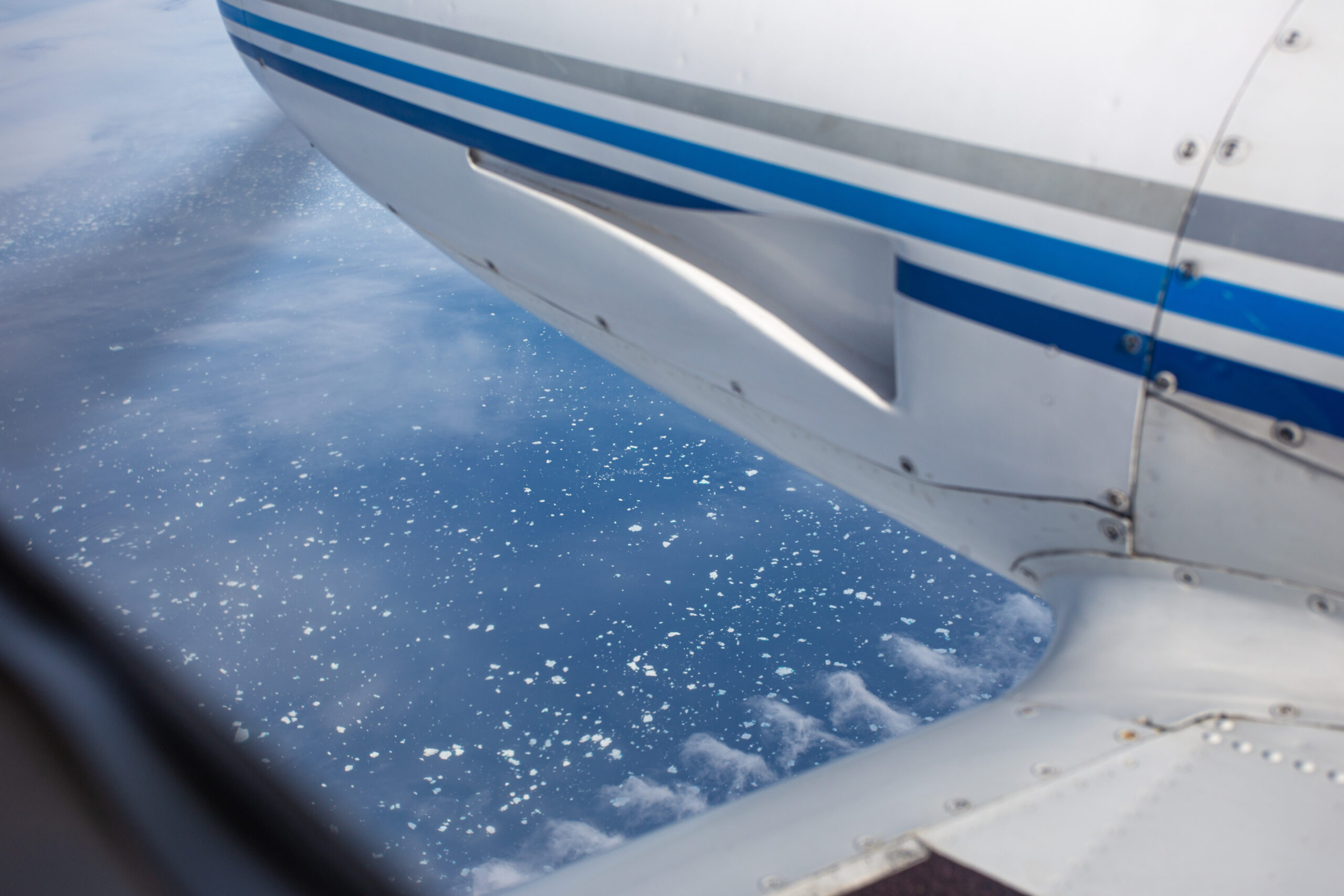
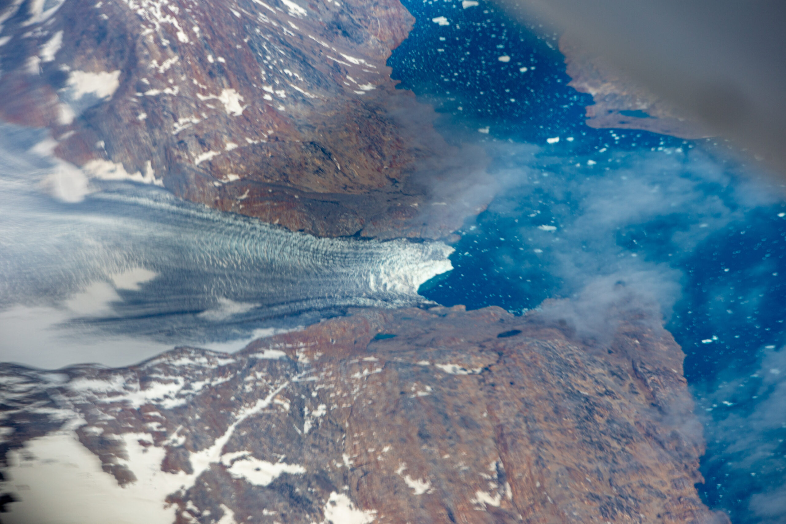
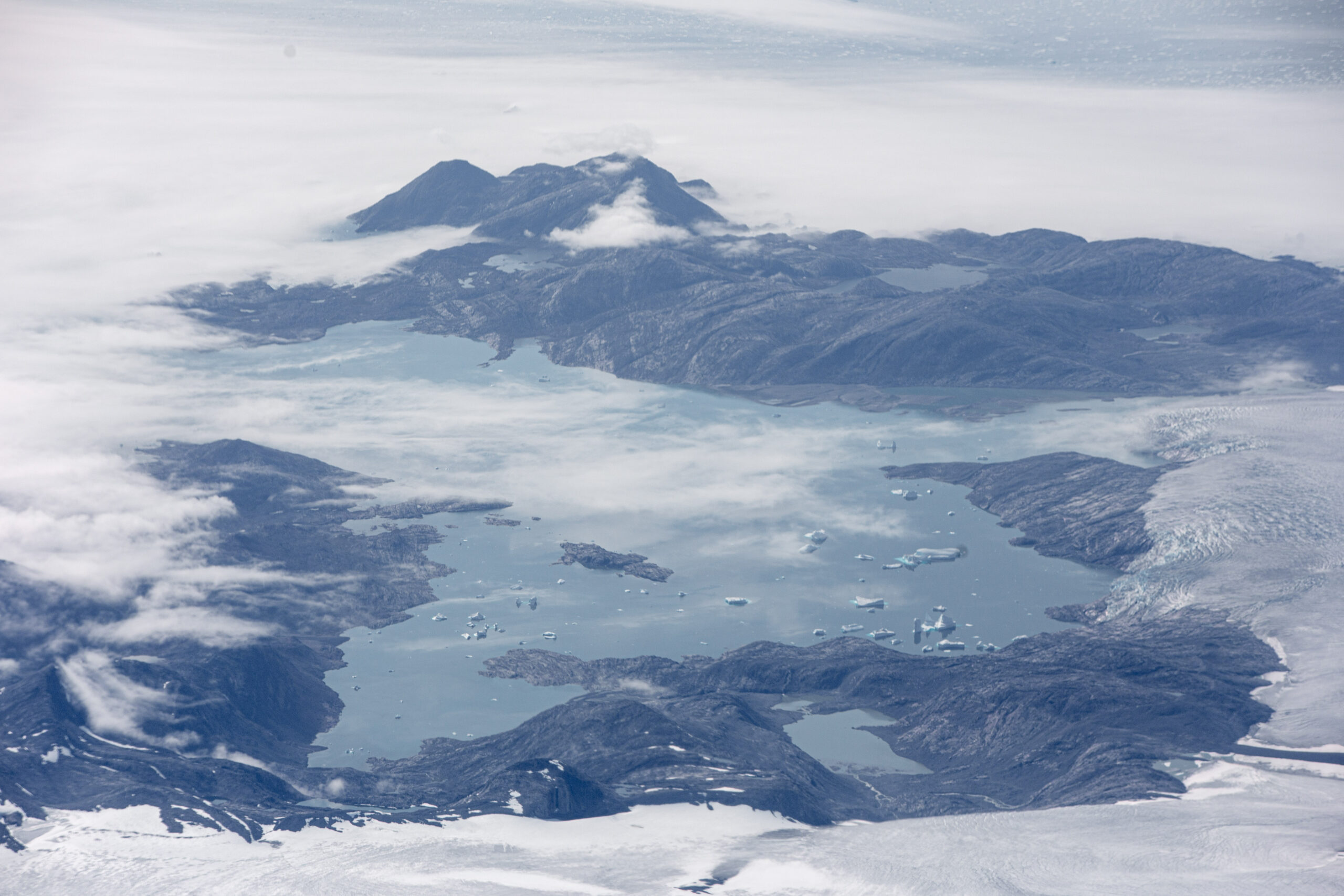
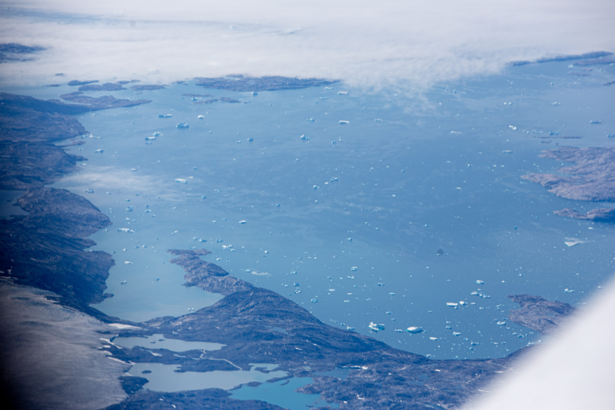
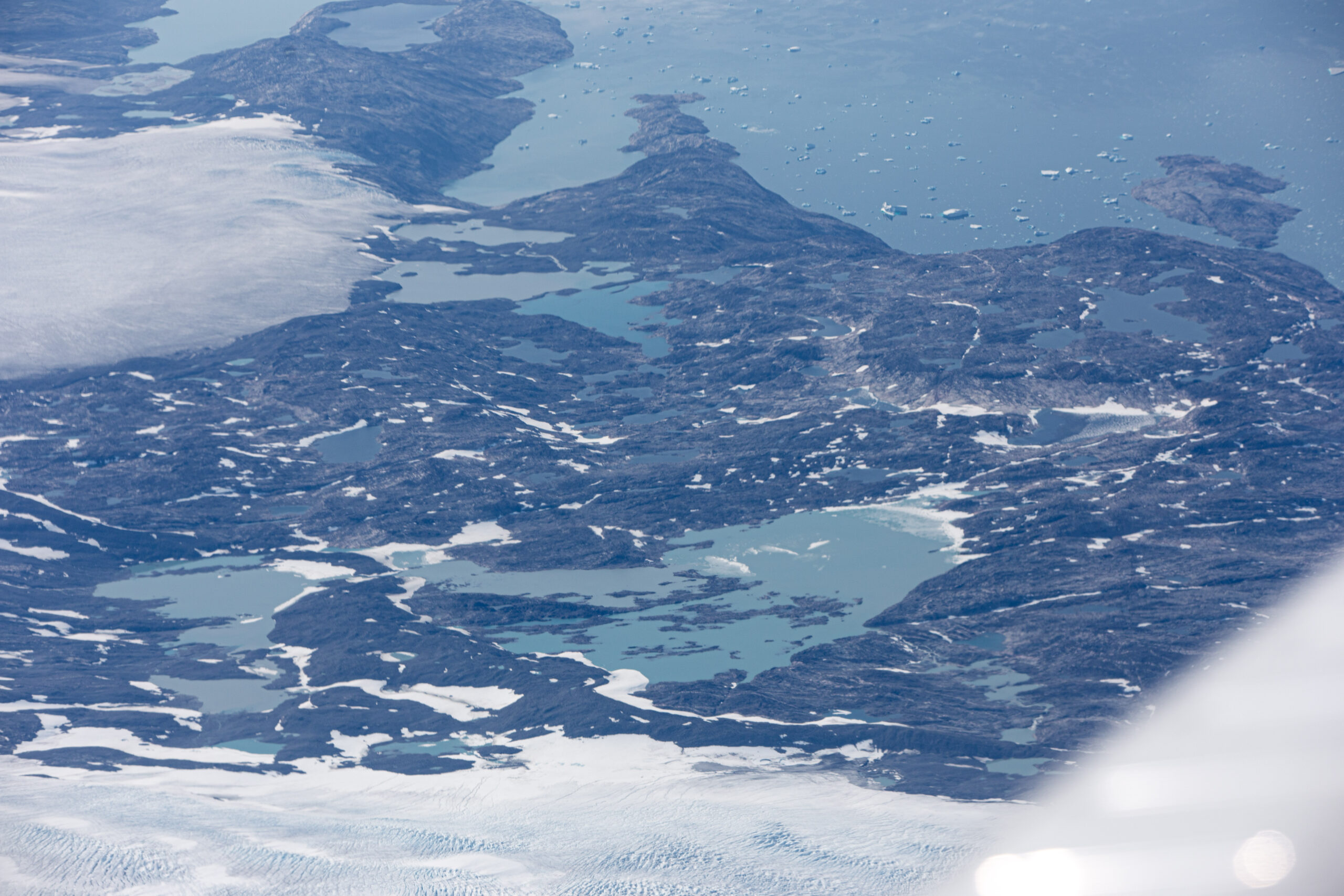
We saw icebergs drifting away from glaciers fed by the great icecap on top of Greenland. The bluest water spotted with small cute icebergs. Long bendy rivers from the icecap to the ocean. It was gorgeous ! But it was also very quickly over …
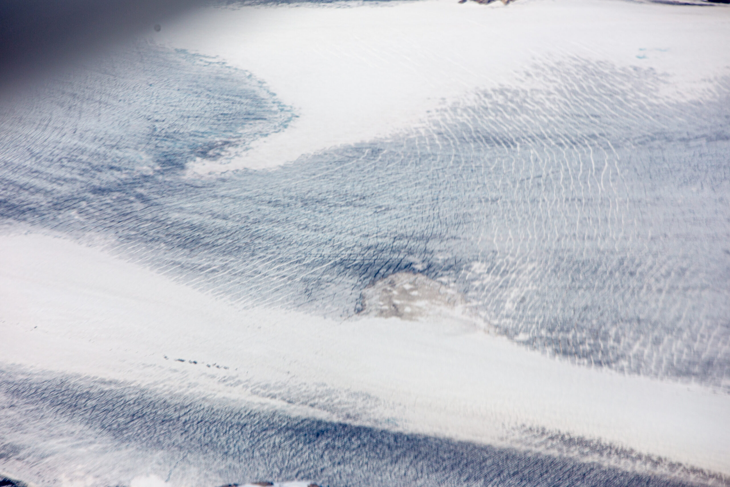
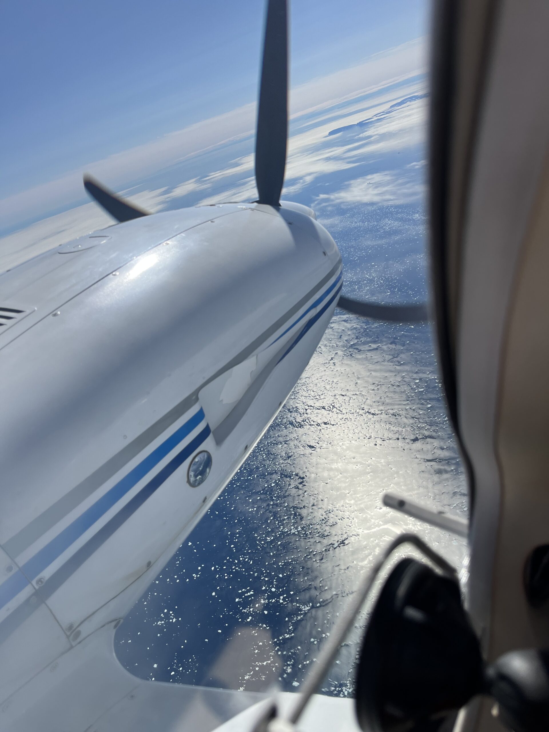
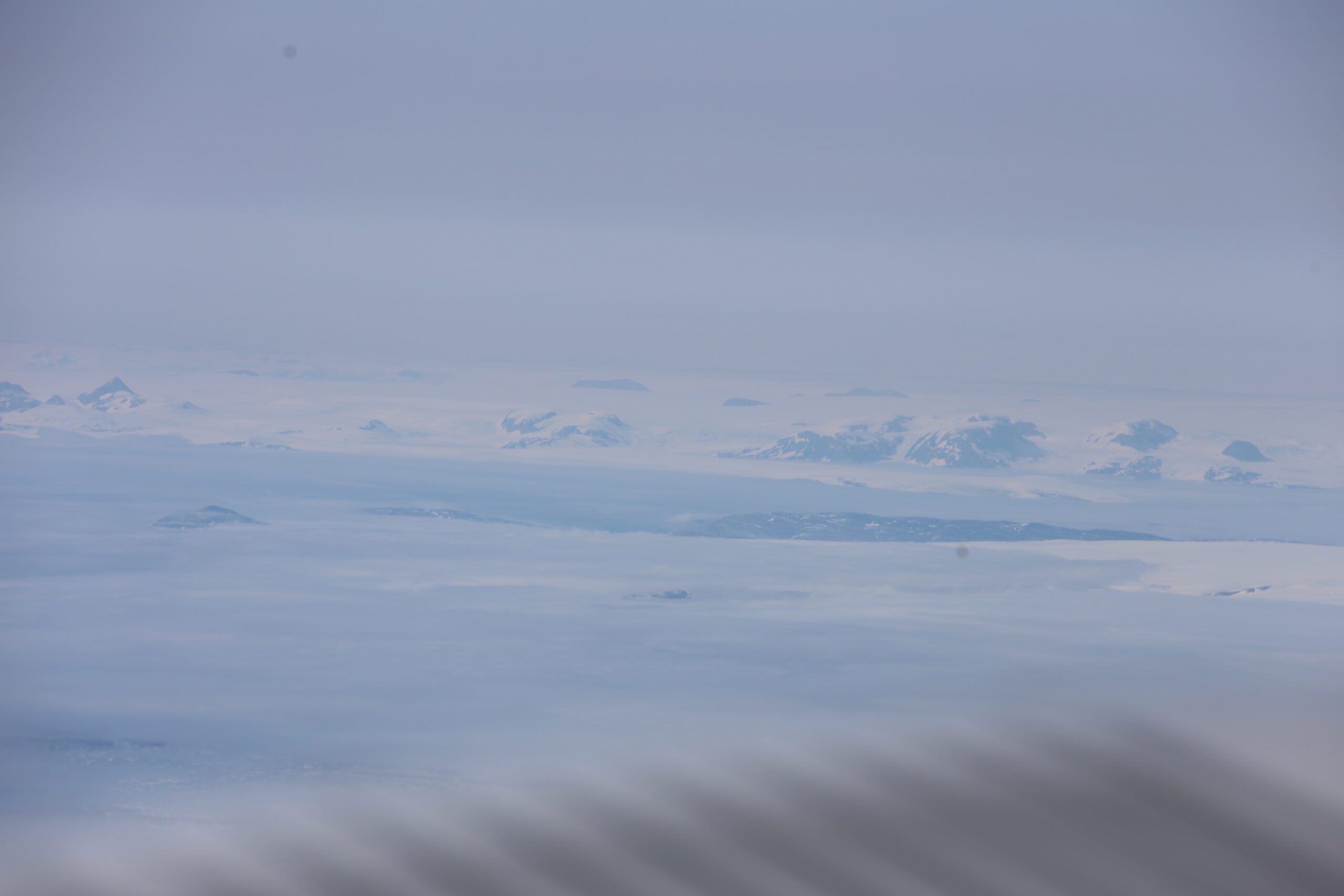
Because we were soon over that dreaded Greenland icecap: a huge expanse of almost 2 million square kilometers filling up all valleys and mountains with sweet water in its frozen state. At its thickest it is 3 km high and reaches almost to FL100, so 10’000ft. That means that if you want to overfly, you have to do it higher then FL100. In fact, the minimum safety altitude prescribed for IFR flight is FL120. And Reykjavik Control had reminded us about that timely as we were cruising at 8000ft towards it. Of course, we climbed higher in time, taking on our oxygen.
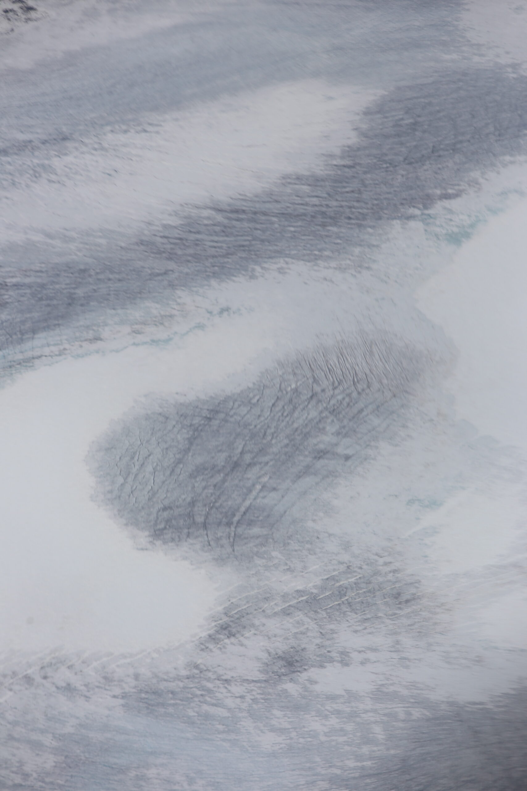
That icecap was just a white plain full of small icehills and cracks. We looked for roads, icebears, life but we didn’t see anything. Luckily we had published our InReach information so people who were tracking our progress back home could contact us via this system and send texts: that was really pleasant… we knew that we were not alone: family and friends were keeping us busy.
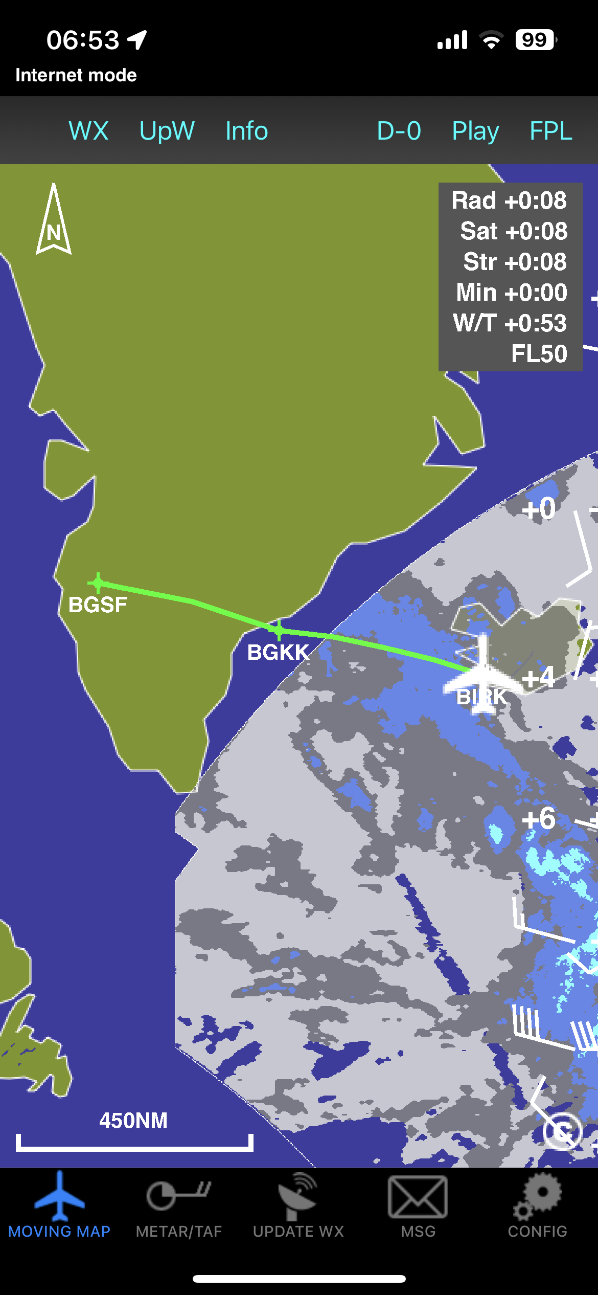
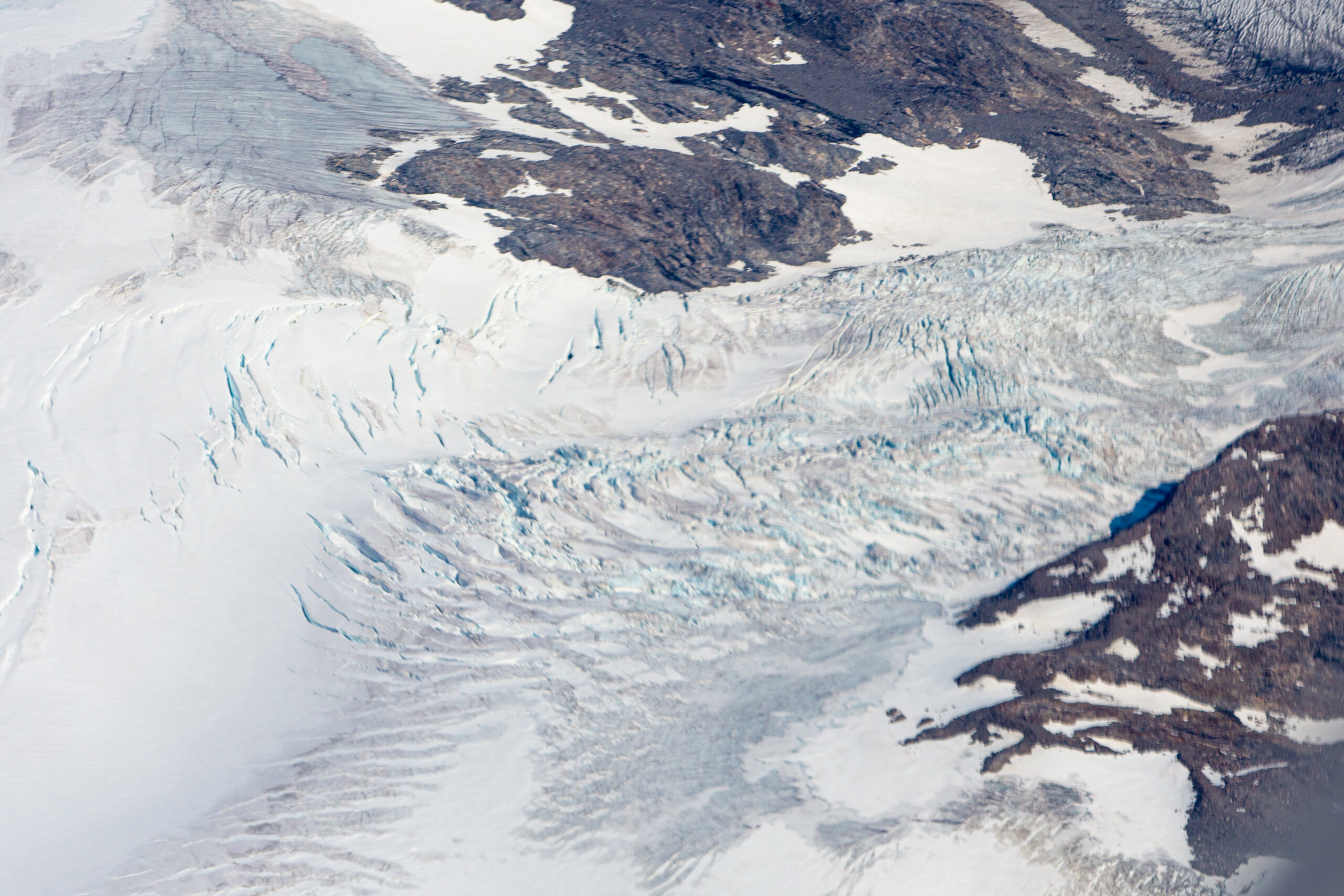
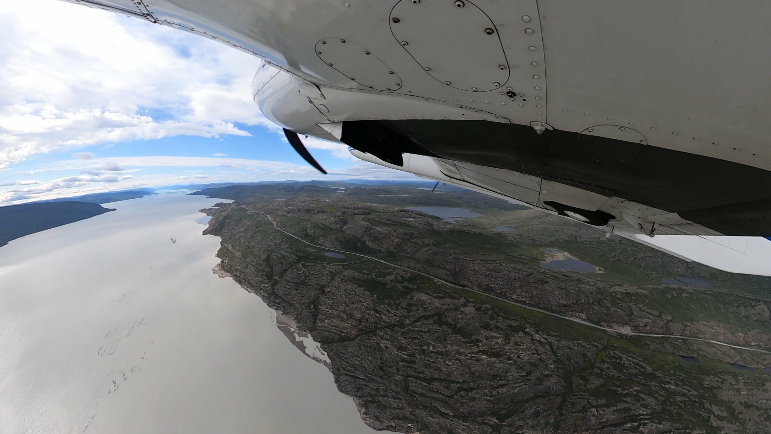
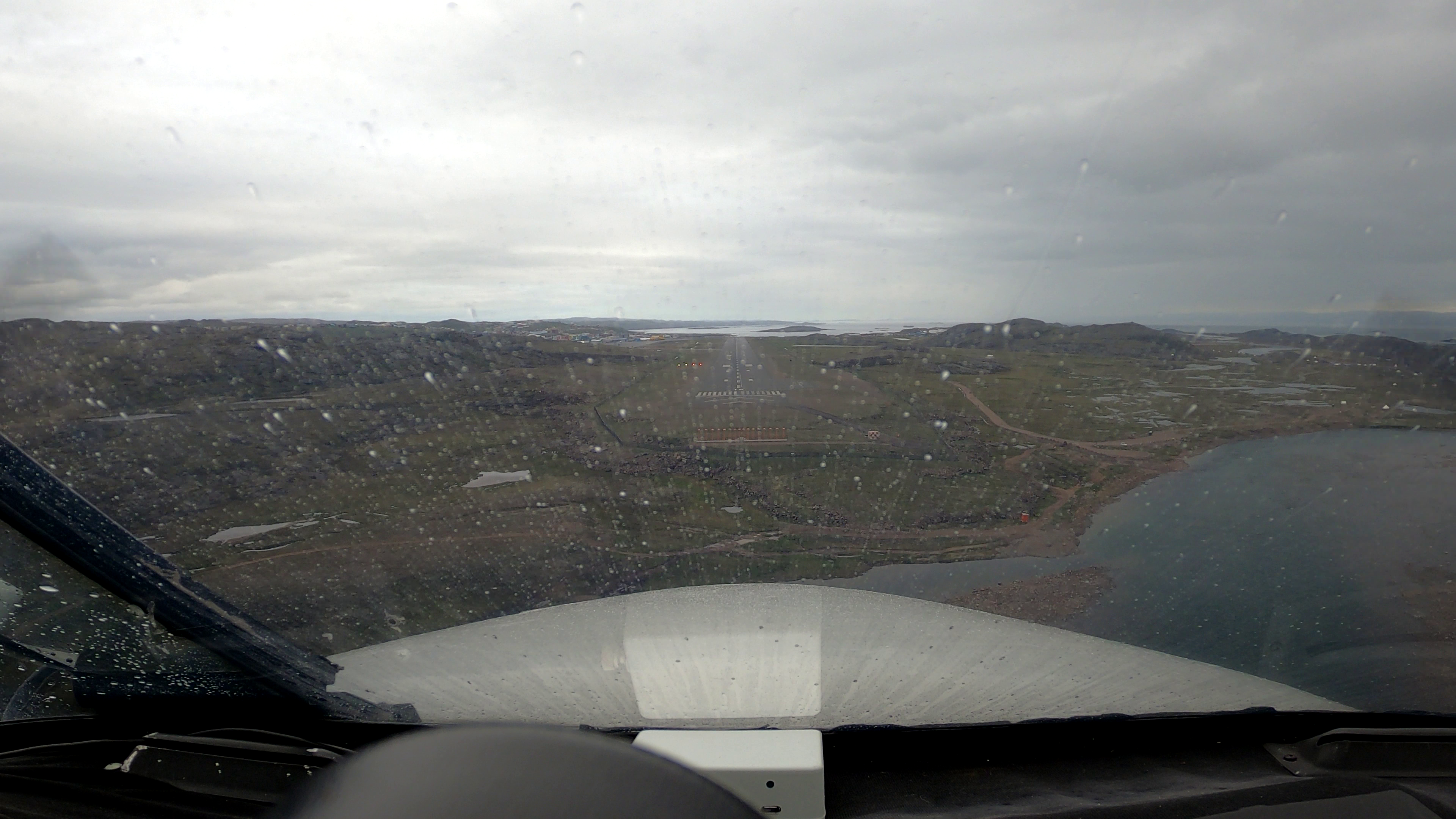
After a while, we saw that there was an end to this white expanse of ice cap: west Greenland came in sight. We were transferred to Sondrestrom Approach and we were cleared to descend. We ended up in very bad rainy weather, luckily without ice, just as forecast. We were assigned to the localiser approach for runway 09 at Kangerlussuaq. We got vectored over the last glacier coming out of the icecap. Later we understood this to be the Russell Glacier where the longest road of Greenland ends. We followed the river from the glacier towards the Sondrestrom Fjord and turned back east in between the sculpted and bare mountains towards the airport where we landed in heavy rain. Damned it is cold here: 4°C in the middle of summer !
We made it to Greenland! A flight of 5hrs20min: the longest flight of the whole trip ! You know what !? This voyage to Oshkosh could actually succeed…
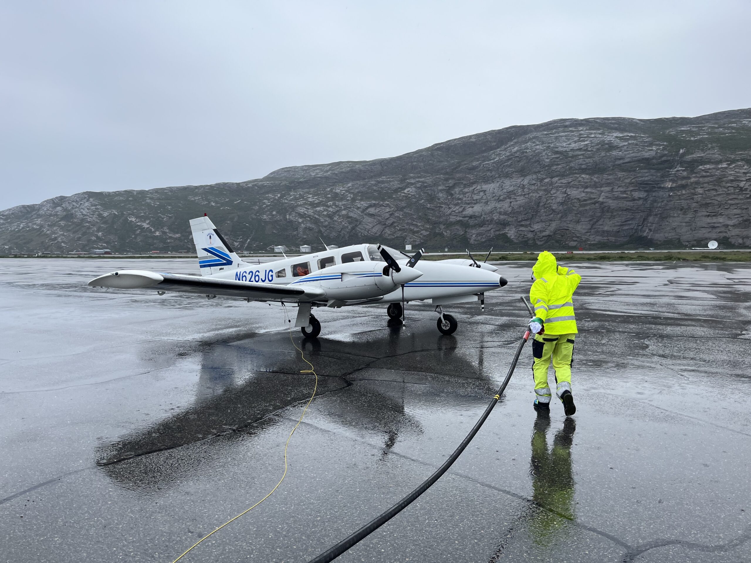
We refuelled with our Air BP card, and got driven to the FBO to pay landing fees etc. We ate the bread we had bought in Iceland with the meat and cheese we had brought in our fridge from Belgium: it was simple but who cares … we had made it to Greenland !
Even better: we didn’t realise it until later, but we had crossed the Arctic Circle: the most southern point where the sun never sets on at least one day per year. We would never be closer to the North Pole than here.
We updated our arrival time with the Canadian customs and with the FBO at our next destination: Iqaluit in Canada. It would be already our real last ocean crossing in our flights towards Oshkosh.
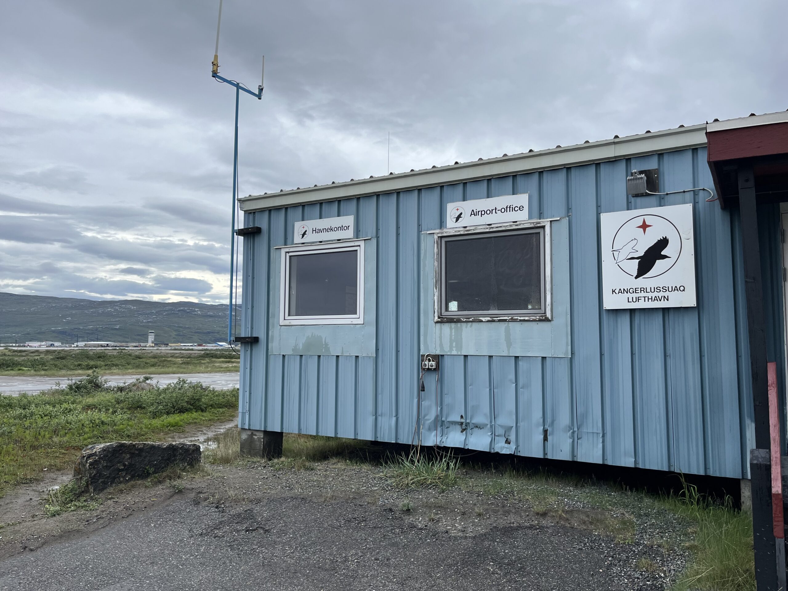
As for Kangerlussuaq itself: it is built completely around the airport which by itself was built by the Americans as “Bluie West 8” and served them as a nice hub in Greenland, shielded from the worst weather.
Flight 5 : Kangerlussuaq – Iqaluit
With renewed courage, filled stomachs, emptied bladders, filled fuel and improved weather, we started up for our flight to North-America. There are some minor differences when flying in Europe and flying in North-America:
- Altimeter setting: in Europe it is “QNH” expressed in hectopascal (or millibar); in North-America it is “Altimeter” expressed in inches mercury. Luckily our altimeters had both scales built-in
- Flight Levels start rather low in Europe, in the USA it is only at 18’000ft
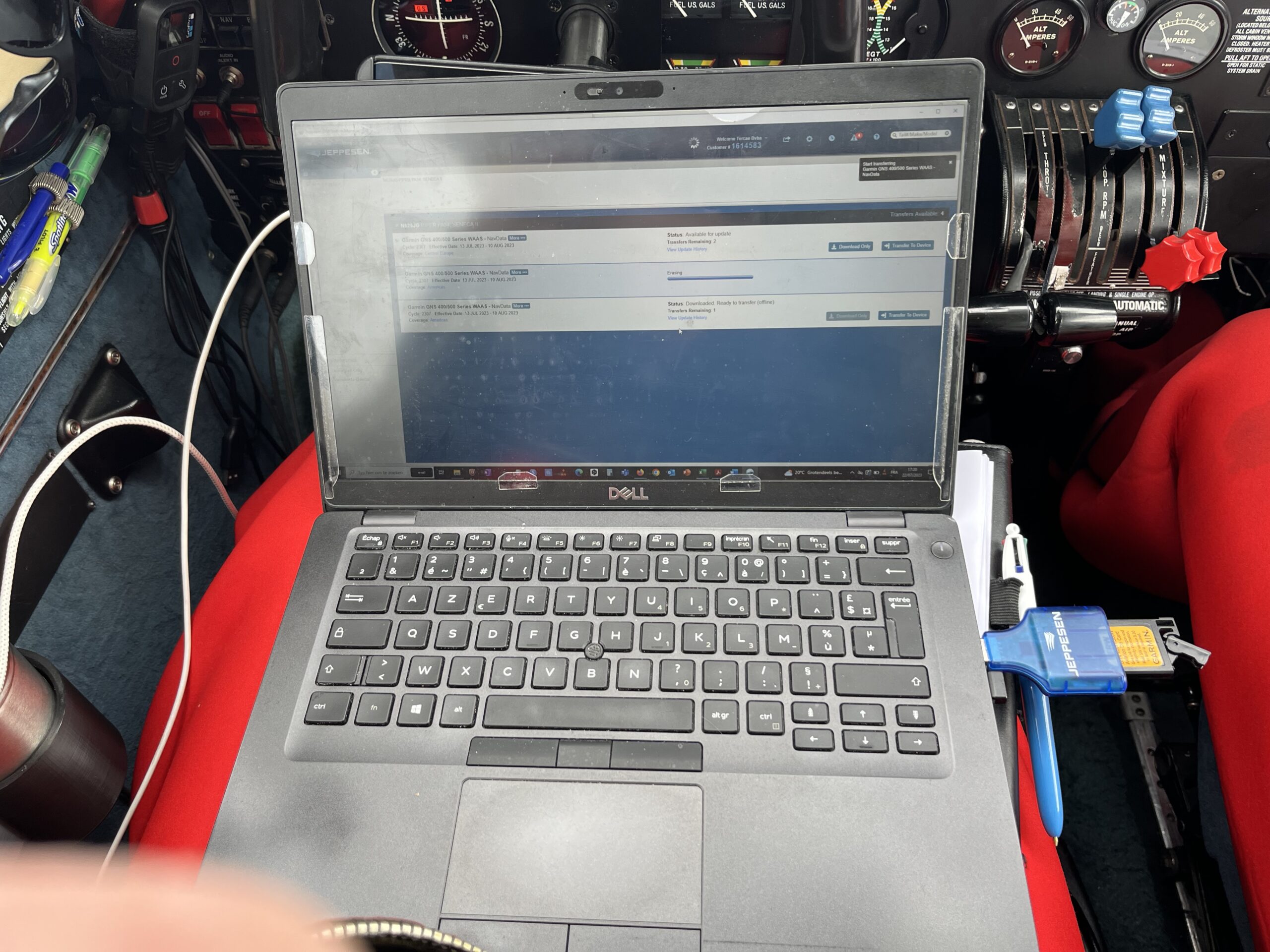
- My two Garmin GNS430W navigators’ databases are so limited in memory that you have to make a choice: either a European database, or an American database
That last item posed a specific problem: when flying from Greenland (Europe) to Iqaluit (Canada), the European database literally stops in the middle of the Atlantic Ocean. On top of that, you can only download a fresh database for one navigator once, so if I downloaded Americas after Europe, I could not re-download Europe in the return flight. So Lambert offered up this solution: I would skip the last download of the Europe database, and when crossing into Canada, I would download the Americas into the navigator. In the return flight I would do the latest Europe download. The only problem is that I would have to fly in Europe with a database that was 1 month overdue … but I took that risk and it worked out ! Before and during the flight I updated the databases to North-America.
The departure from Kangerlussuaq, while still over west Greenland, the landscape was rough but very appealing and beautiful ! We crossed the Sondrestrom fjord and coasted out over the Atlantic Ocean towards North-Canada.
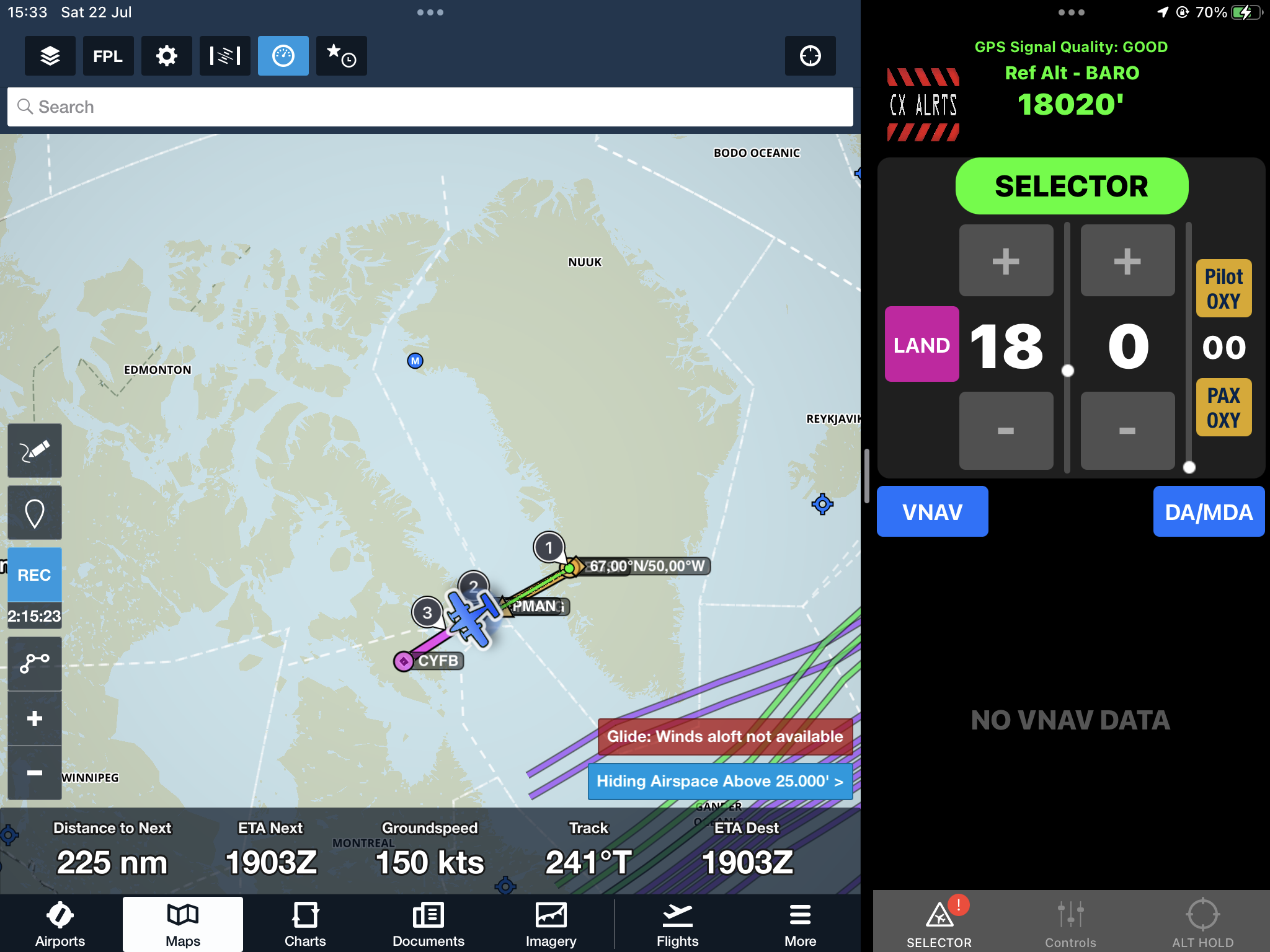
BGSF IKNOG EPMAN KENKI CYFB, FL180
This part of the Ocean was littered with icebergs: thousands and thousands and thousands. We climbed to FL180 (18’000ft) with oxygen in our noses.
After having talked to Sondrestrom Approach and Nuuk Radio, we reached waypoint IKNOG, we switched GNS430W databases as described above, and switched to Edmonton … a city in the west of Canada ! What a jump 🙂 ! We selected 62% power because we had to consume enough fuel to allow exactly 1 barrel of Avgas to fit our tanks. Edmonton asked our estimates for EPMAN and KENKI, and they even picked us up on radar so after EPMAN, they cleared us direct destination.
After a while, Canada came into view and its landscapes were similar as Greenland, but a little more rugged and rough. Snow & icebergs everywhere !
We made landfall, actually a couple of times as we crossed from peninsula to peninsula. Above the last peninsula, we got cleared to descend and we ended from 10’000ft onwards in clouds and rain. We kept descending and after a while, here and there glimpses of the terrain below us became visible: there was NOTHING there: no roads, no houses, no cars, only some lakes, rocks and some small bush !
From FL060 we got cleared to the RNAV approach for runway 16 at Iqaluit in pooring rain. Iqaluit has no Tower facilities, only Radio so we had to adapt a little our style. Iqaluit was very busy with bustling traffic. We got off at taxiway Charlie and taxied to the FBO. 3 hrs 40 minutes of flight this time. We made it to North-America !!
A car from the Canadian Border Police was waiting for us. The officer checked our passports and gave us a transit visum and number as crew. He asked if we had something to declare, so I declared 6 bottles of La Chouffe beer for our own consumption … which was perfectly acceptable.
Iqaluit is the capital of Nunavut, one of the territories of Canada. It used to be called Frobisher Bay when it served as one of the stops on the Blue Spruce Routes.
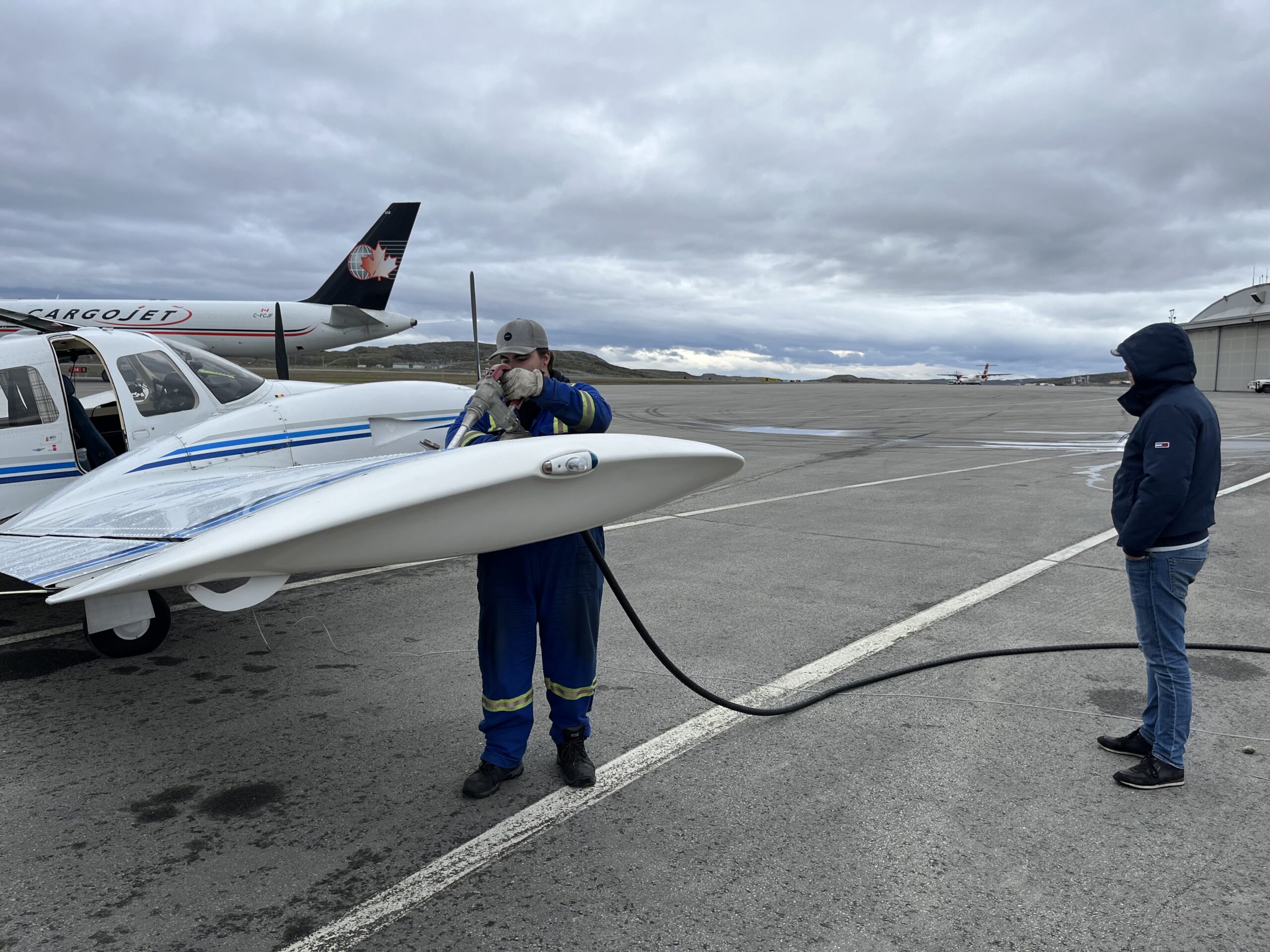
We had a coffee and a visit to the restrooms at the FBO. I had to retaxi the airplane to the eastern tip of the airport for refuelling: that’s where all the barrels avgas were stored. Toby rode with the refueller.
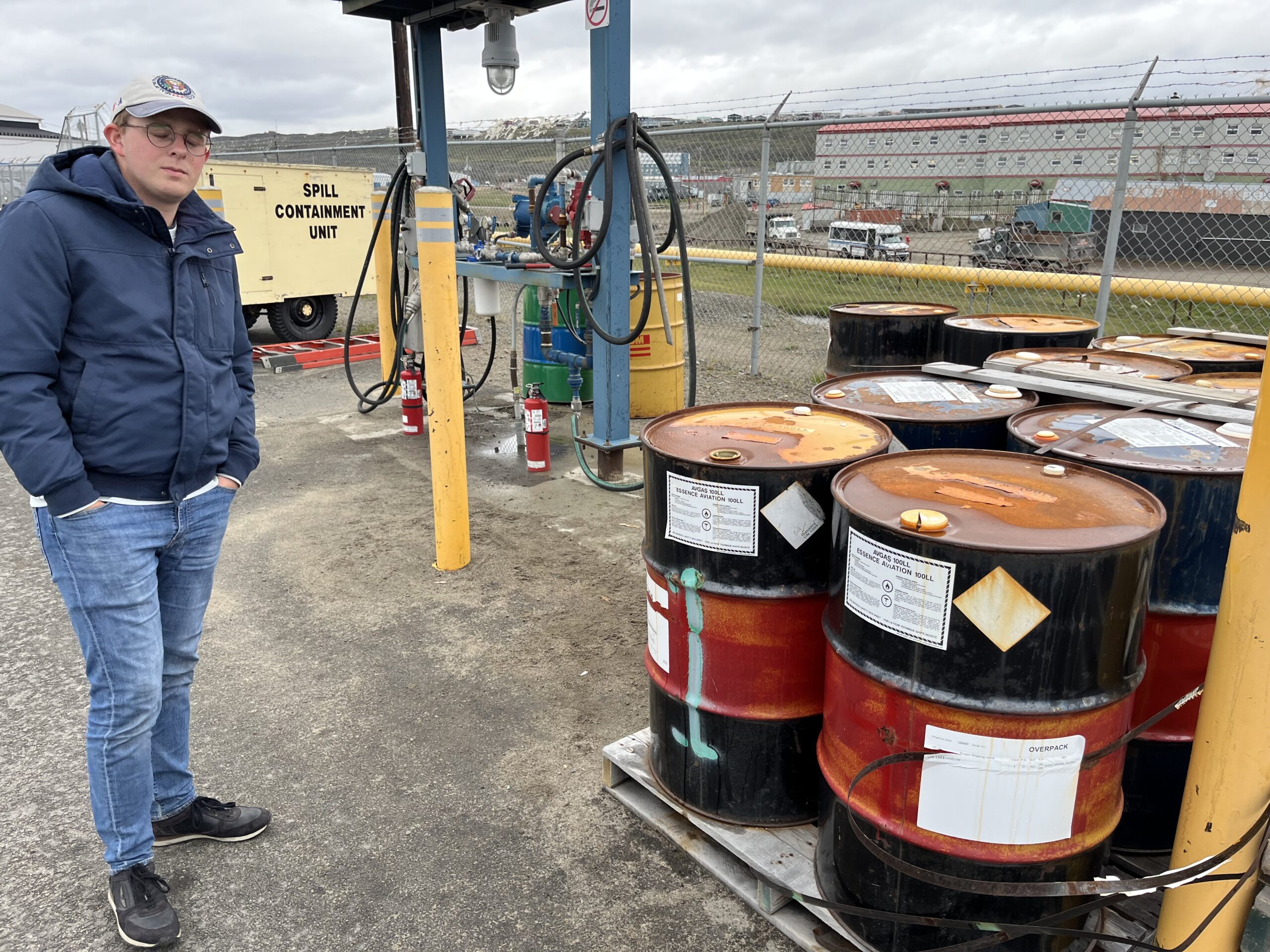
On this airport, we could only buy avgas fuel one barrel of 205l at the time. As indicated before, we had calculated before exactly how much fuel we would consume to fit that barrel and still have plenty of fuel to fly to our next destination and its alternate. I had called upfront and they had confirmed to me that they still had plenty of barrels … which turned out to be entirely true. After our flight from Kangerlussuaq, we had 51 Gallons remaining from the total of 123 G. We added a barrel of 54 G, ending up with 106 G: plenty to make it to Kuujjuaq and with the possibility to continue all the way to Sheffervile.
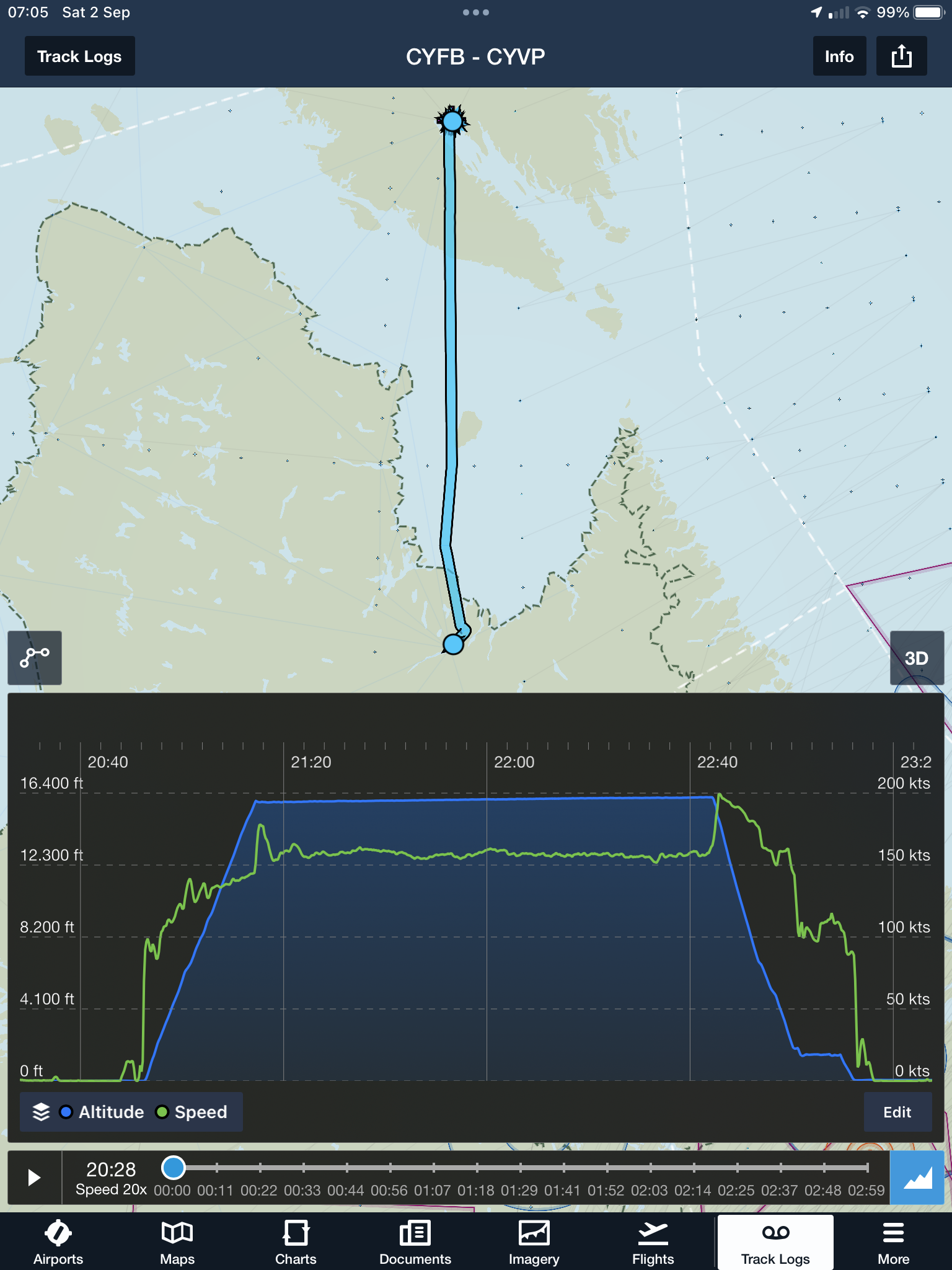
Flight 6 : Iqaluit – Kuujjuaq
After refuelling, we were ready for our last flight of the longest day: towards Kuujjuaq. While Iqaluit is located on an island, Kuujjuaq is firmly on the mainland so we had to cross the vast Hudson Strait, which is the natural waterway between the Atlantic Ocean and the Hudson Bay, the circular “lake” in the middle of North Canada.
We departed southbound on the Iqaluit 8 departure after some confusion on the ground with Iqaluit Radio: the operator was difficult to understand, and we were getting quite tired already. We had put on our immersion suits again because of the strait crossing. We had filed FL180 but we learned something new: this altitude (which is optimal for our aircraft) is not available due to it being a transition altitude. So we settled for 16’000ft.
We learned about how Canada is organizing ATC: they cover a part of their vast terrain with Control frequencies: mostly Montreal Control. In areas without radar and without ATC coverage, you can use a “Enroute Radio” that you use to do air-to-air position reports.
Every now and then we heard some far away pilot calling on that enroute frequency. Most spoke a very bizarre form of French: we had entered the world of the French Canadians: my god they were incomprehensible !
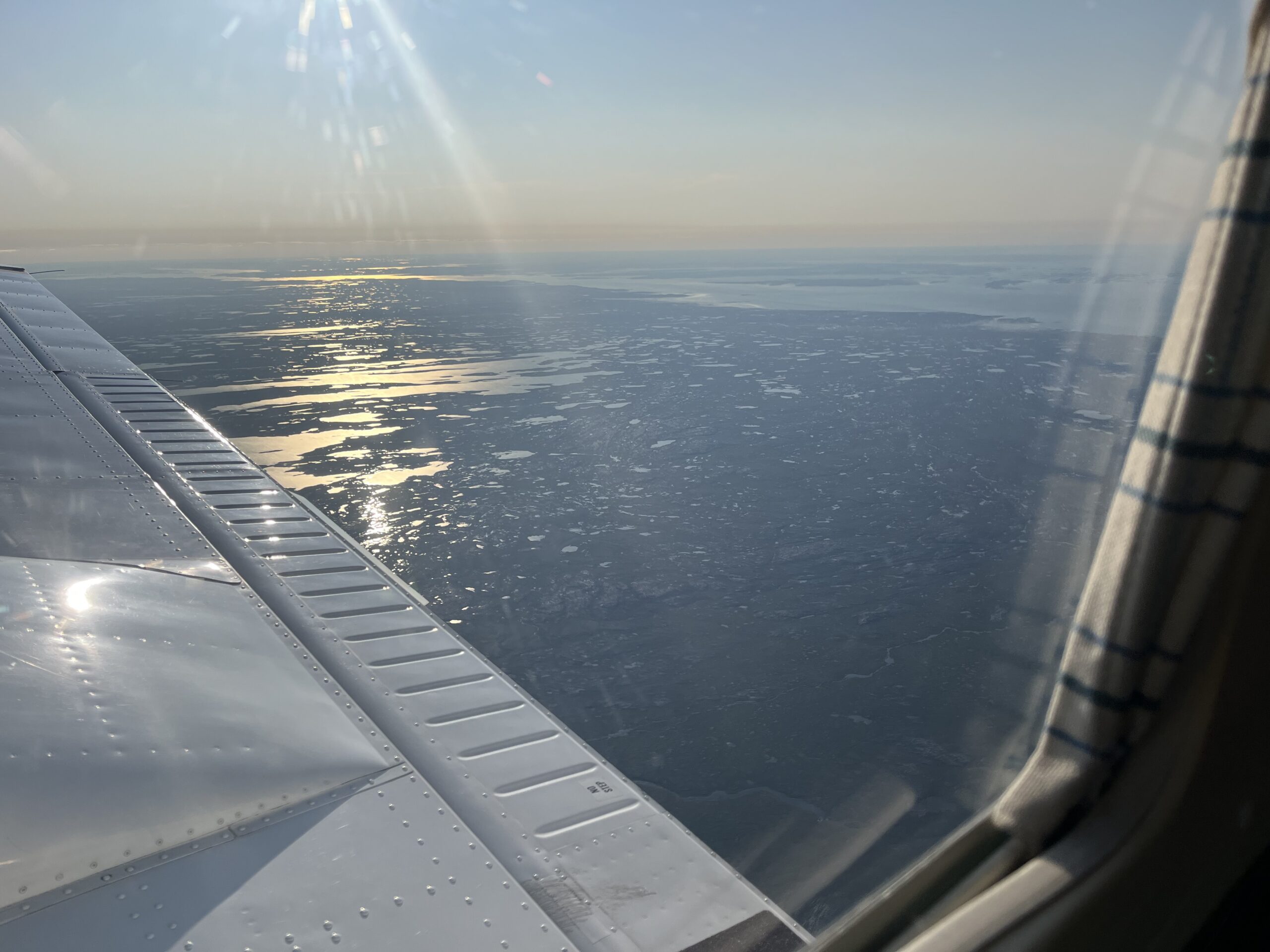
After a while we were plainly over the Hudson Strait without any radio contact with any living soul. Also, there was nobody below us. A lonely iceberg could be seen, but that’s it… One way or another we were more remote than any moment over the Atlantic Ocean. It was a beautiful late afternoon – early evening: sun was getting low and shadows were getting longer. I tried to call Montreal a couple of time to no avail: even talking in my French didn’t help.
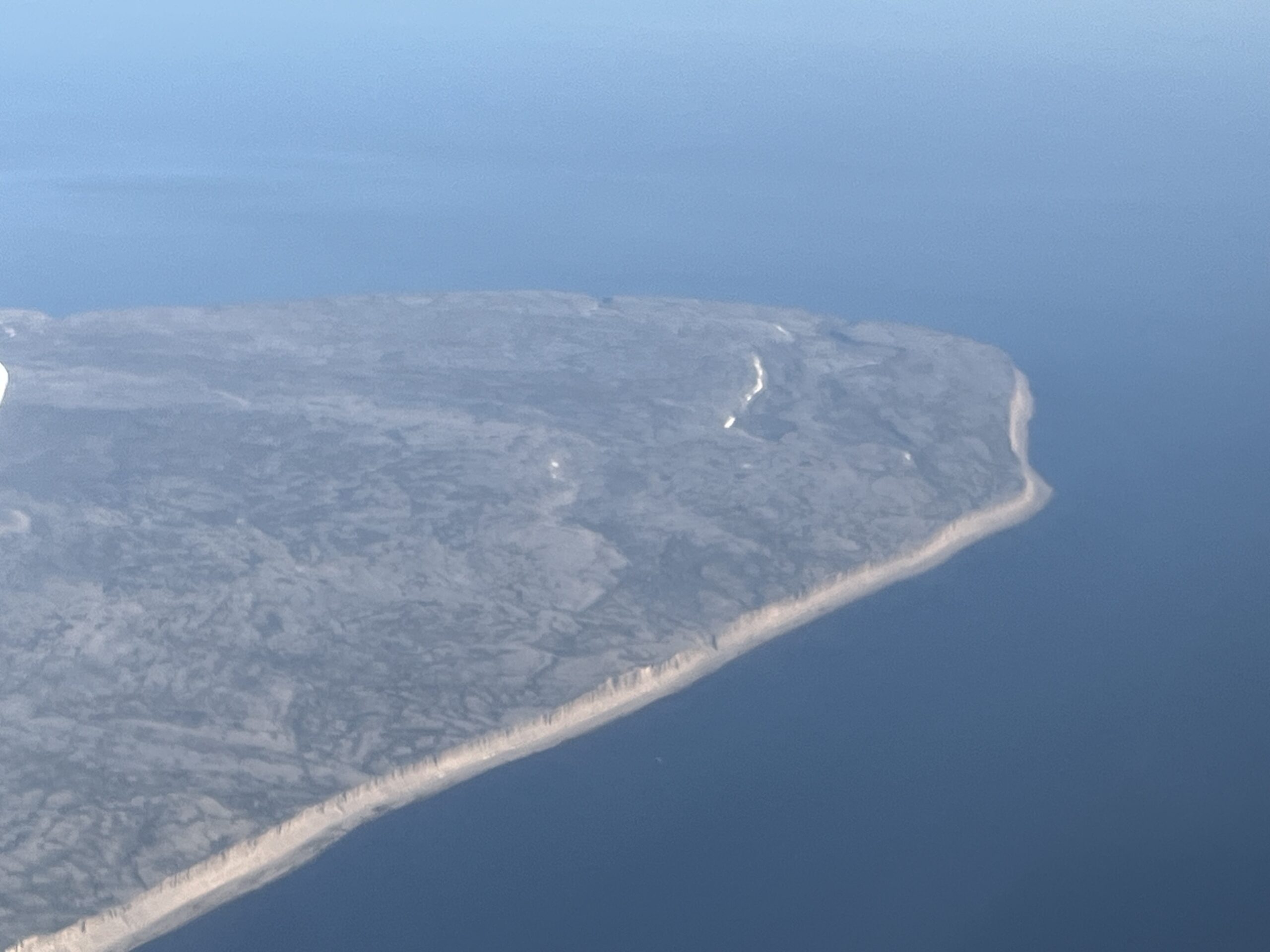
A lonely island became visible on the horizon: Akpatok Island. It has very steep cliffs going into the ocean, and is littered with rivers, lakes and rocks and otherwise … nothing: no humans, no settlements, no roads, nothing … Maybe we could conquer and occupy this island … nobody would ever know !?
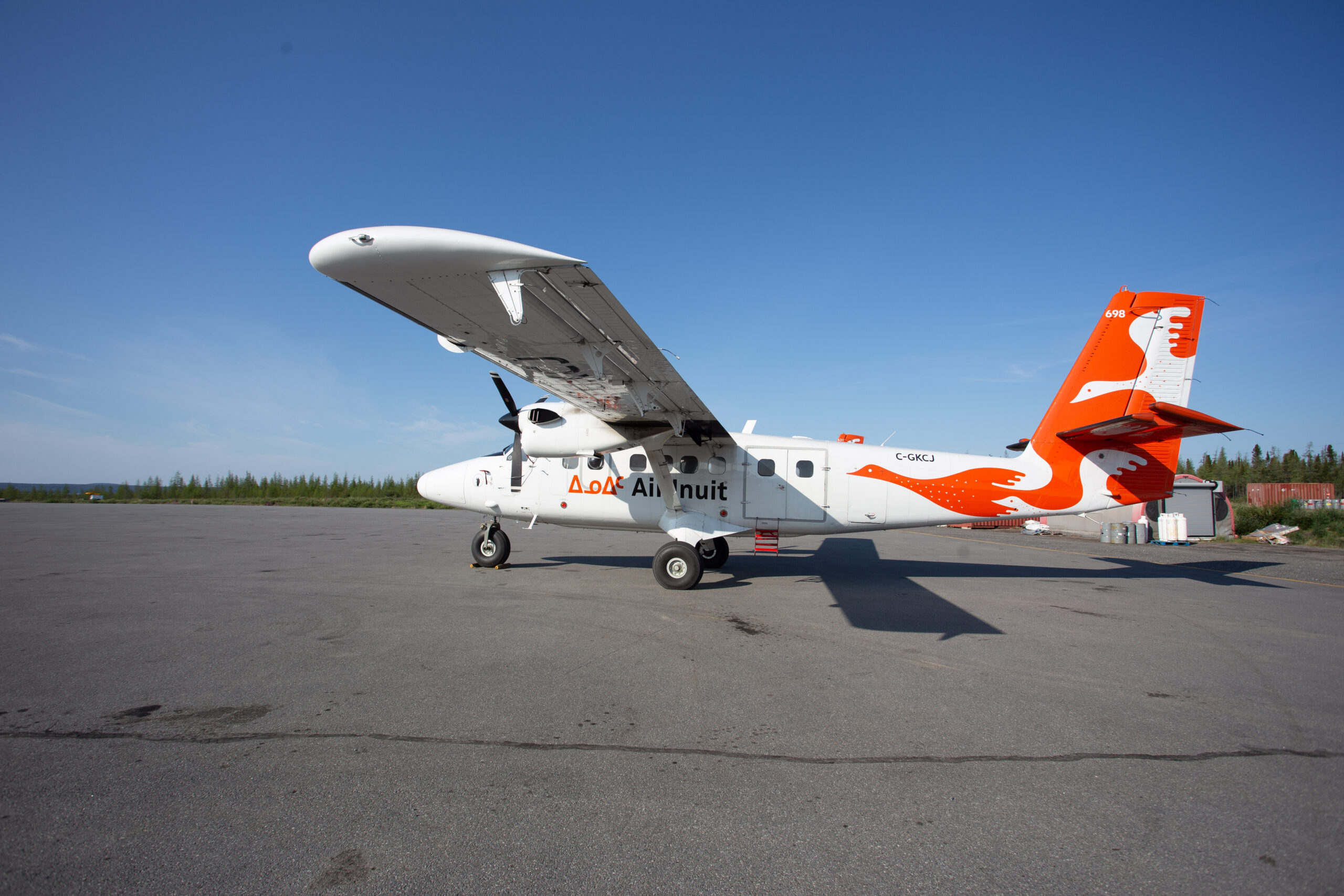
After a while, we could get Montreal Control talking to us. We were passed to Kuujjuaq Radio, asked for the latest weather and decided to do the RNP25 approach. Kuujjuaq Airport (CYVP) has two runways: one concrete, one gravel and we wanted to avoid the gravel runway. On the radio we heard Air Inuit’s Viking Twin Otters doing training flights in Kuujjuaq.
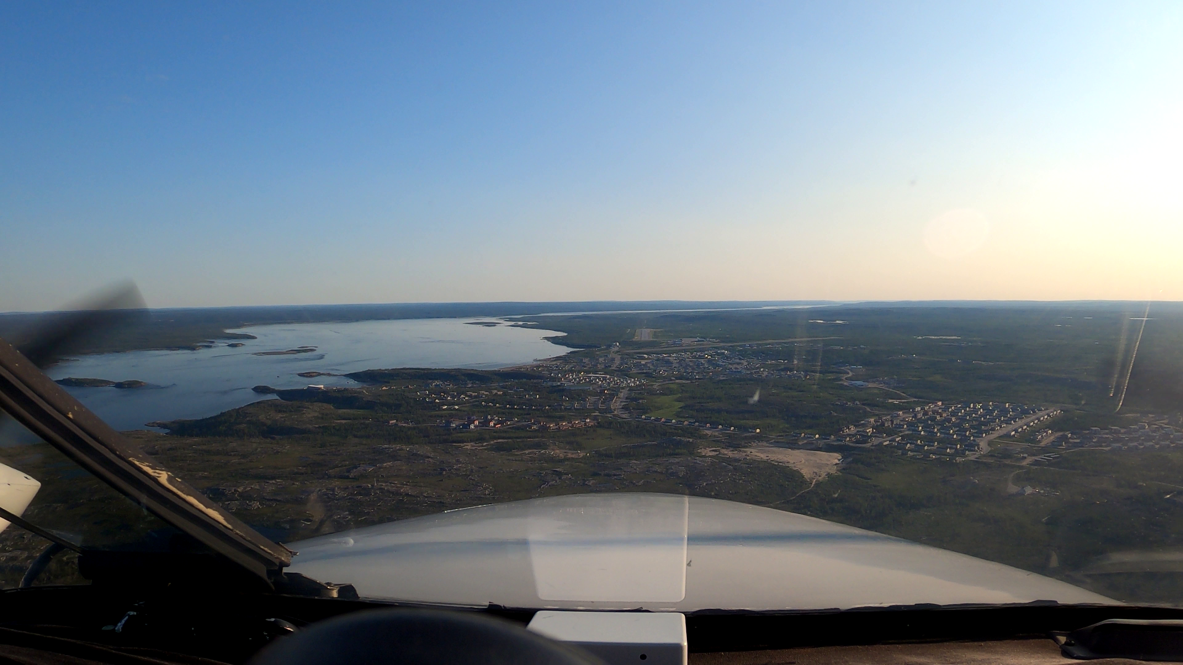
We landed uneventfully after a 2:19hrs flight, and taxied to the large apron of Kuujjuaq Airport: it was very busy with ATRs and Viking Twin Otters of Air Inuit.
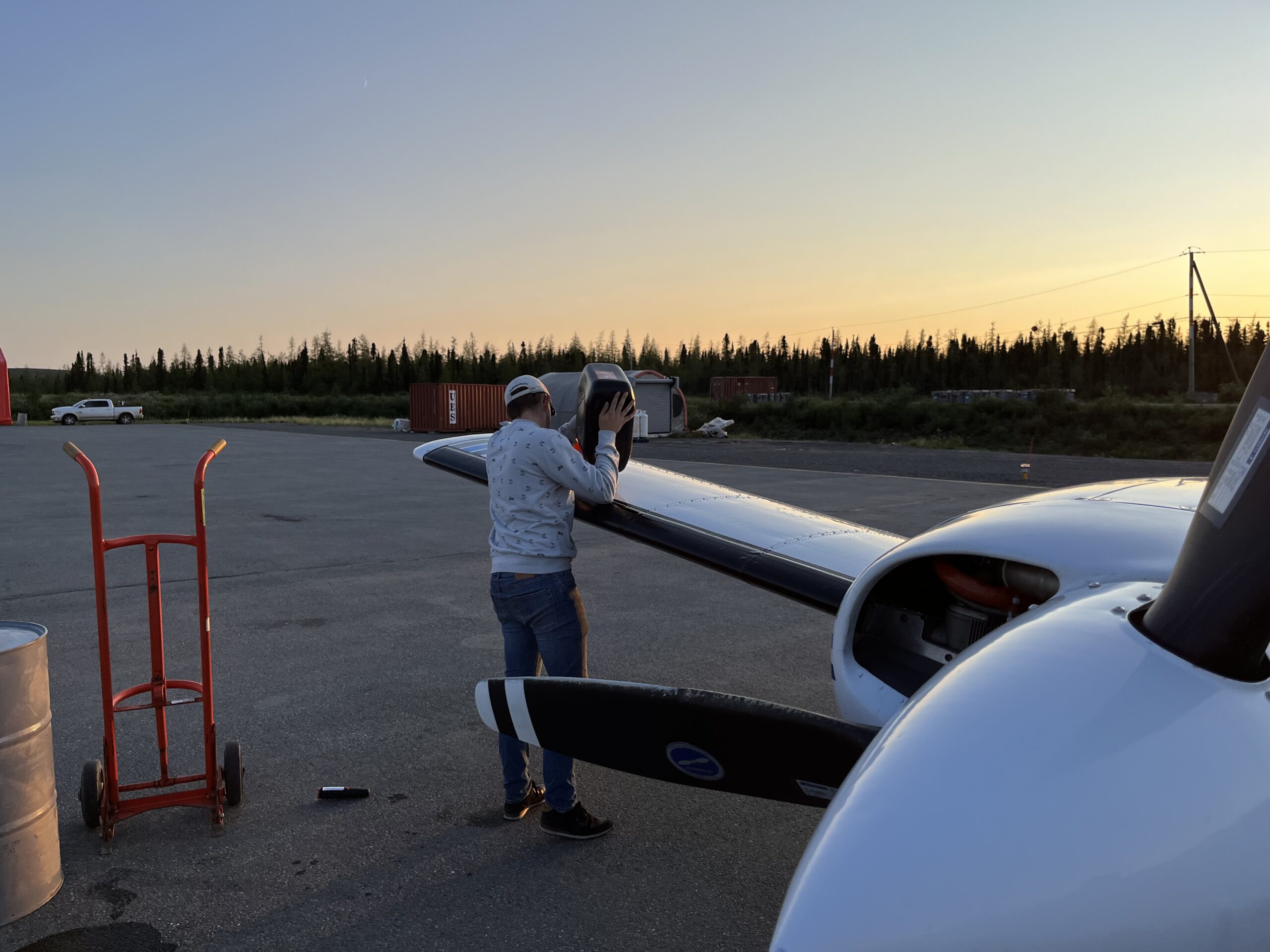
We had called upfront to reserve a barrel of Avgas, but the fuel guy, with whom we had made an appointment, did not show up. So we divided the work: I would arrange the airplane, and Toby went looking for the fuel man. After a while, both showed up. The guy was not showing any sight of politeness or co-operation. We could pick up our avgas barrel ourselves, and bring it ourselves from the shed 200m to the aircraft. And we should pump it empty with our own pump ourselves … not a nice welcome … He only changed his attitude the moment that I announced that I would pay cash! All of the sudden he was very gentle and polite … still wondering how that comes … hmmm … !?
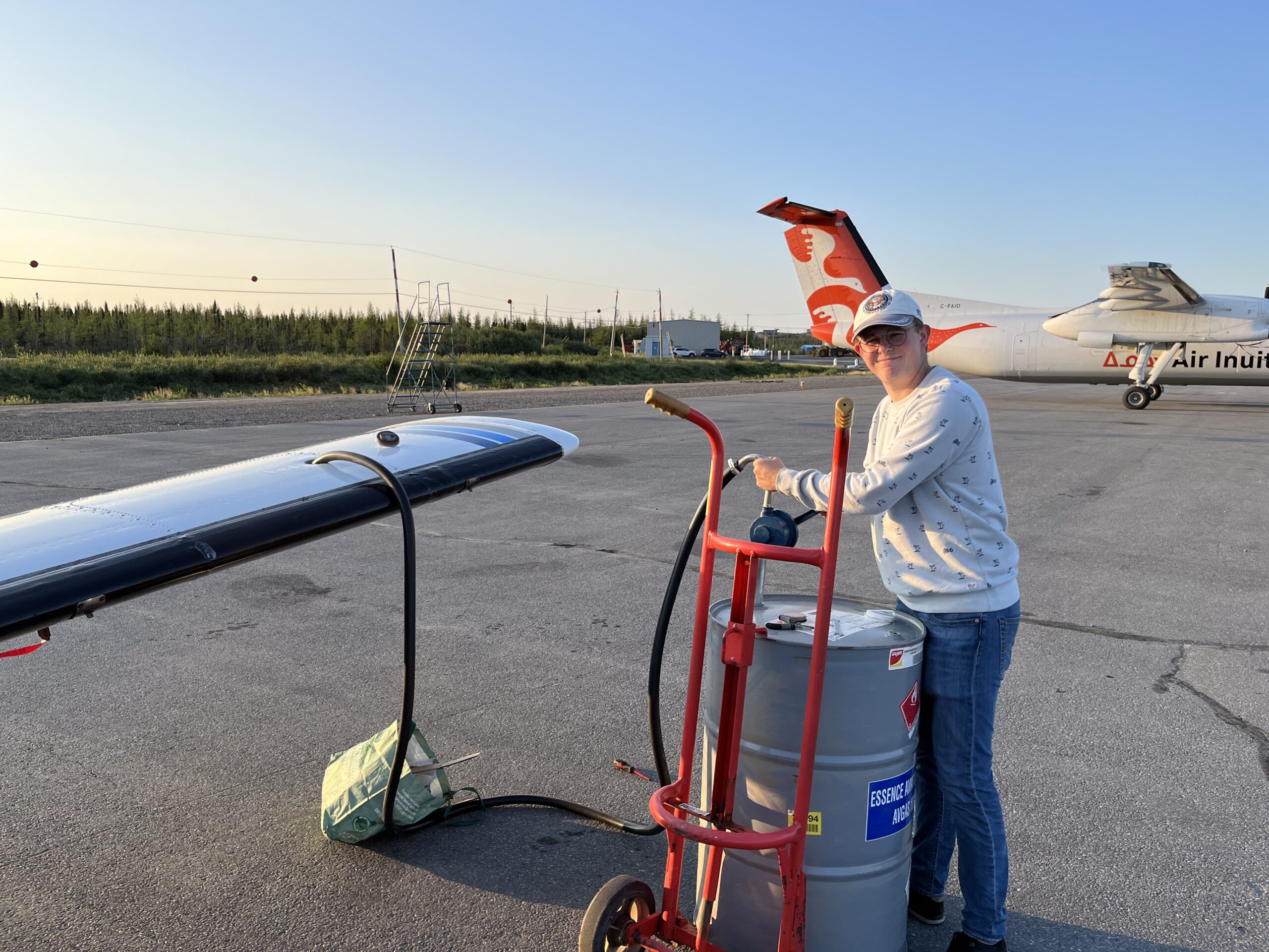
We pumped the barrel in both wings but we couldn’t get the last liters out, so we manually had to turn the barrel on its side to fill a plastic barrel we had brought through a funnel, and so get the last drops out of the vat: we filled to 121G out of 123G: not bad.
It was getting late, it was getting dark. We were hungry and thirsty… we had no hotel booked and we were in the middle of nowhere Kuujjuaq. My cell phone had no reception. In the meanwhile, the airport was empty. We put the empty barrel back at the shed and looked for people who could help us. After a few tries, we met Isabelle, a french-talking Canadian pilot and flight instructor who had heard us on the radio arriving when she was giving instruction on a Twin Otter. Air Inuit had temporally moved operations and all aircraft here because in their normal base there are bush fires and the situation is not safe.
She told us that there were no hotel rooms available but she could drive us around to look.
In the car we asked what was going on here. There is a boom of construction in North Canada where the government is building houses for the Inuit. All the work is done by South Canadians who are paid a lot to come up and work here in the North.
We stopped at the first hotel: The Auberge Kuujjuaq Inn. Despite the negative prediction of Isabelle they still had a room available, so we thanked her for the ride and parted ways with her. I arranged the room. Toby arranged food from a food truck and we met back in the pub attached to the hotel. That pub was full of locals: the one even more drunk than the other: loud shouting, people falling of their chairs, breaking glasses … it was the wild west … euh north …
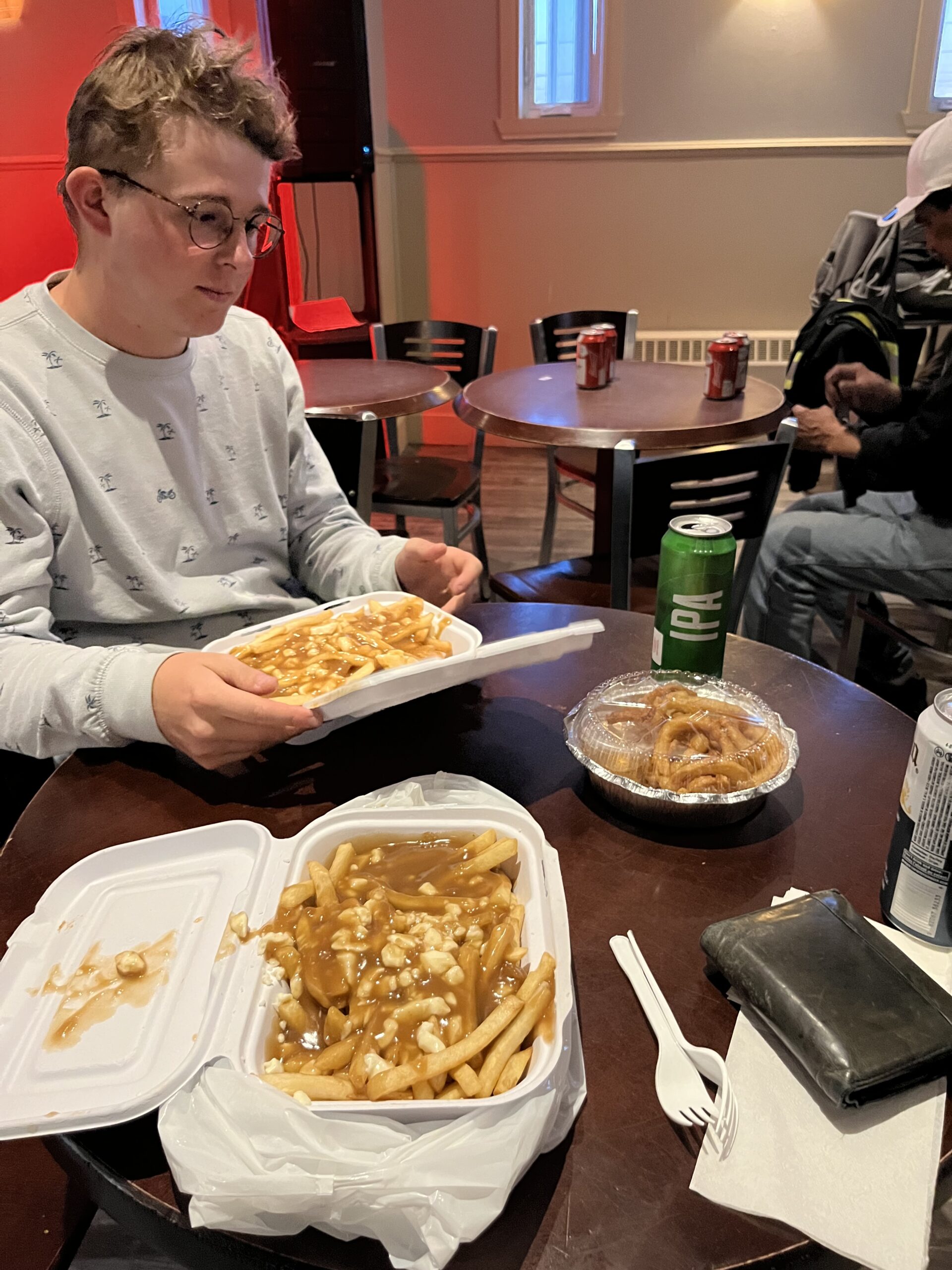
Toby had brought Poutine, a Canadian mix of fries, gravy and cheese curds: it filled our tummies. While we had our beer in the middle of all the local drunks, a local came up to us asking if he could eat from our poutine. “No” was the immediate answer, but at the end we gave him our left over which he quickly ate and disappeared: the guy was very drunk and was very starving. What a weird place !
We had deserved our bed after the longest day which even got longer: sleep was all we needed! We had flown more than 11 hours on this 28 hour day.
The next day we fly to the USA. Stay tuned and let me know your feedback !
thanks for sharing and the great pictures
thanks for sharing your great adventure
Great blog – lots of good info and local colour
What was the app you using on your ipad? If you don’t mind i’m asking
It’s Foreflight